

Table of Contents
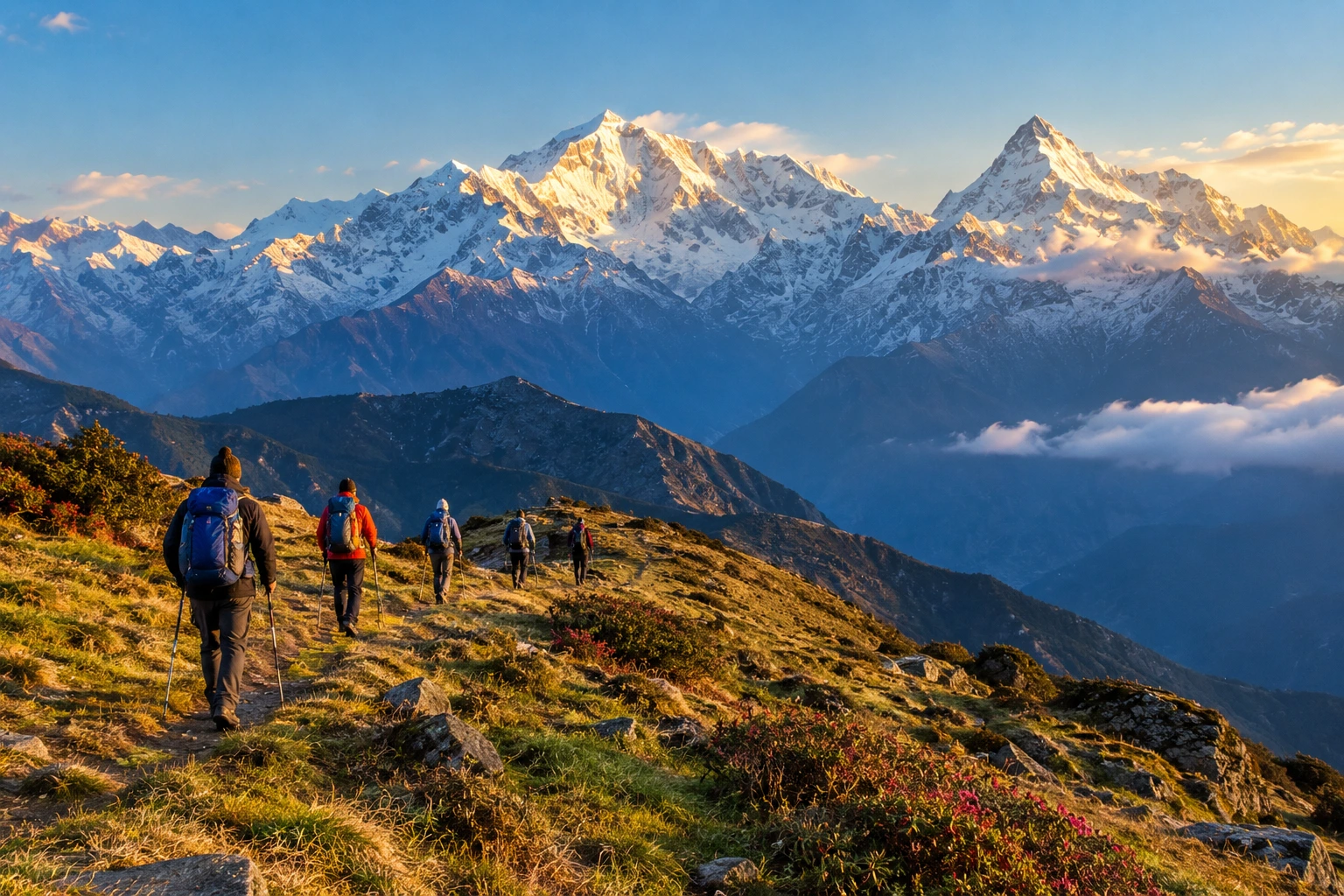
Long before it became one of Uttarakhand’s most loved trekking routes, this trail was carved out by British surveyor Lord Curzon himself, who traced a path through the Garhwal Himalayas that continues to captivate trekkers over a century later. Known today as Kuari Pass, the route winds through dense oak and rhododendron forests, wide alpine meadows, and remote mountain villages, all while keeping some of the highest peaks in the Himalayas in constant view.
Part of what makes Kuari Pass so enduringly popular is its balance — it offers all the grandeur of a high-altitude Himalayan trek without demanding technical climbing skills, which is exactly why it continues to attract both first-time trekkers and seasoned mountain enthusiasts year after year.
If you’re planning to take on this trail, our own Kuari Pass Trek package covers the complete journey, but here’s a detailed look at what makes it one of the most rewarding treks for both beginners and experienced hikers alike.
A Trail With History
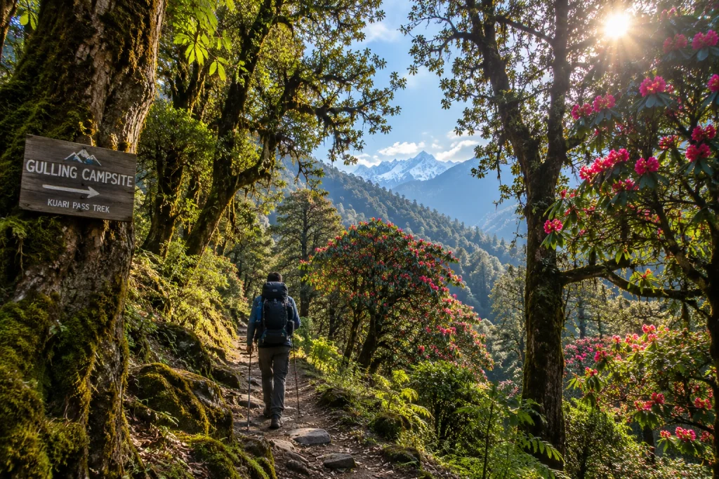
Kuari Pass has a backstory that most Himalayan treks can’t claim. In 1905, Lord Curzon, then Viceroy of India, trekked this very route, which is why it’s still occasionally referred to as the “Curzon Trail.” That historical footnote adds a layer of intrigue to what is already one of the most visually rewarding treks in the Garhwal region.
The Kuari Pass journey typically begins from Joshimath, a small town in the Chamoli district that also serves as the gateway to several other well-known Himalayan destinations, including Auli and the Valley of Flowers. From there, the trail winds through villages like Tugasi and Dhak, before climbing steadily through forest and meadow terrain toward the high pass itself.
Along the Kuari Pass route, trekkers pass through campsites like Gulling and Khullara, each offering its own distinct character — from dense forest clearings to open, wind-swept ridgelines with unobstructed mountain views. This variety in scenery is one of the reasons the trail rarely feels repetitive, even across several days of walking.
How Long Is the Trek?
One of the most searched details for anyone researching this route is the Kuari pass trek distance, which typically ranges between 30 to 35 kilometres for the full round trip, depending on the exact itinerary and route variation chosen by different trek operators. Some itineraries incorporate additional detours through Gorson Bugyal or the Auli meadows, which can extend the overall distance slightly.
Most trekking groups complete the Kuari Pass journey over 5 to 6 days, allowing time for gradual acclimatisation, rest days at key campsites, and enough flexibility to adjust for weather conditions along the way.
Altitude and Elevation Gain
At its highest point, the Kuari pass height reaches roughly 3,650 metres, or about 12,000 feet above sea level, rewarding trekkers with sweeping panoramic views of some of the tallest peaks in the Indian Himalayas, including Nanda Devi, Dronagiri, Chaukhamba, and Kamet.
Despite the significant elevation gain, the Kuari Pass ascent is largely gradual rather than steep, which is part of why this route has earned a reputation as one of the more beginner-friendly high-altitude treks in Uttarakhand. That said, proper acclimatisation, steady pacing, and adequate hydration remain essential at this height, as with any Himalayan trek above 3,000 metres.
Difficulty Level and Terrain
The overall difficulty of Kuari Pass falls into the easy-to-moderate category, making it accessible to first-time trekkers with reasonable fitness, while still offering enough of a physical challenge to satisfy more experienced hikers. The trail includes a mix of forest paths, open meadows, and a few steeper, rocky stretches, particularly closer to the summit.
Trekkers should be prepared for some narrow, occasionally exposed sections near Gorson Bugyal on the Kuari Pass trail, along with the possibility of navigational difficulty if fog rolls in unexpectedly. None of these challenges require technical climbing skills, but a reasonable level of physical preparation and sturdy trekking gear go a long way toward making the experience smoother.
For those looking for a slightly different but equally scenic alternative in the same region, our Brahmatal Trek offers a similarly moderate winter trek with its own set of spectacular Himalayan viewpoints, making it worth considering if Kuari Pass isn’t in season during your planned travel dates.
Best Time to Attempt This Trek
Timing plays a big role in shaping the overall Kuari Pass experience. The ideal windows fall between April and June, and again from September to November, when skies are generally clear and temperatures remain manageable for trekking.
Winter months, from December through February, transform the landscape into a snow-covered wonderland, drawing trekkers who specifically seek out snow trekking experiences, though this comes with added cold and the need for appropriate gear such as gaiters and insulated layers. Monsoon months are best avoided altogether, given the risk of slippery trails, leeches in the lower forested sections, and reduced visibility that can obscure the very views the trek is known for.
Practical Kuari Pass Trip Information
- Starting point: Joshimath, Chamoli district, Uttarakhand
- Altitude: Approximately 3,650 metres (12,000 feet)
- Trek distance: Roughly 30 to 35 km round trip
- Duration: 5 to 6 days
- Difficulty: Easy to moderate
- Best season: April to June and September to November
- Nearest railway station: Rishikesh, approximately 250 km away
- Nearest airport: Jolly Grant Airport, Dehradun, approximately 205 km away
For updated travel advisories and regional trekking guidelines, you can refer to the Uttarakhand Tourism Department, the state government’s official tourism portal.
Tips for a Smooth Trekking Experience
- Prioritise acclimatisation: Take rest days as planned and avoid rushing the ascent
- Layer your clothing: Temperatures can shift dramatically between day and night
- Carry sufficient water: Staying hydrated helps reduce the risk of altitude-related discomfort
- Break in your footwear beforehand: Sturdy, well-fitted trekking shoes make a significant difference on uneven terrain
- Check weather updates regularly: Fog and sudden weather shifts are common at higher elevations
- Travel with experienced guides: Local trek leaders familiar with the route can help navigate tricky sections safely, especially in foggy conditions
Frequently Asked Question’s
How far is the full round trip?
The total distance typically ranges between 30 to 35 kilometres for the full round trip, depending on the specific route and itinerary chosen.
How high is the pass above sea level?
It sits at approximately 3,650 metres, or around 12,000 feet, offering sweeping views of major Himalayan peaks.
Is this route suitable for beginners?
Yes, thanks to its gradual ascents and well-marked trail, it is considered accessible for first-time trekkers with reasonable fitness levels.
What is the best time of year to attempt Kuari Pass?
April to June and September to November offer the most favourable conditions, with clear skies and comfortable trekking temperatures.
Why is it also called the Curzon Trail?
The route earned this nickname after Lord Curzon, the British Viceroy of India, trekked the same path in 1905.