

Table of Contents
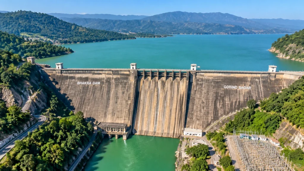
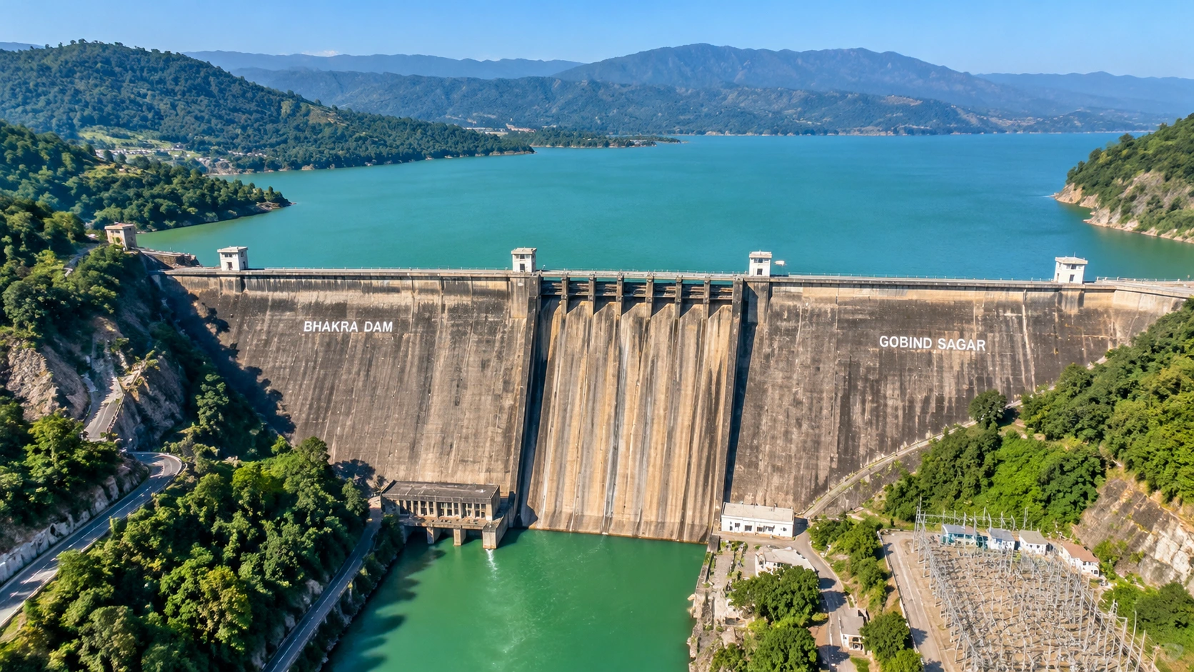
In 1955, Jawaharlal Nehru pushed the first bucket of concrete into a dry riverbed in the Himachal hills and called the project that followed a “new temple of resurgent India.” Seven decades later, Bhakra Dam still holds back one of the largest reservoirs in the country, lights up homes across northern India and waters the wheat fields of Punjab and Haryana. Bhakra Dam is also a surprisingly pleasant place to visit.
This guide to Bhakra Dam is organised as a fact file, not a travel diary. It starts with quick answers, then moves through the history, the engineering, the reservoir, the water-level question that confuses many readers and a short visiting guide. Where sources disagree, the article says so.
Quick Answers First
Which river? The Sutlej. Which state? Himachal Pradesh, in the Bilaspur district. Built for? Irrigation, hydropower and flood control. Run by? The Bhakra Beas Management Board. Reservoir? Gobind Sagar.
Which River, and Which State?
People often search for the Bhakra Dam on which river, and the answer is the Sutlej, one of the five rivers of Punjab. The Bhakra Dam wall stands in a narrow gorge near Bhakra village in Bilaspur district, Himachal Pradesh, close to the Punjab border. The Sutlej enters India from Tibet, flows through Kinnaur, and runs on through the foothills to the plains before joining the Beas.
A second question comes up just as often: the Bhakra Nangal Dam in which state? Strictly, there are two separate structures. The tall Bhakra Dam is in Himachal Pradesh. The much smaller Nangal Dam, which works as a barrage, lies about 10 km downstream in Punjab. Together they form the Bhakra–Nangal Project, which is why people use one joined name for both.
From Idea to Concrete: A Timeline
| Year | Event |
|---|---|
| 1946 | Preliminary works begin |
| 1948 | Main construction starts |
| 1955 | Nehru lays the first concrete, 17 November |
| 1963 | Dam completed and dedicated; Nehru addresses the ceremony |
| 1966 | The Bhakra Beas Management Board is formed |
| 1967 | The Board begins operations on 1 October |
Several stages, including added power units, were completed by the early 1970s. The project was funded by the Union Government, and Wikipedia lists the cost as about 245 crore rupees, though its own conversion to modern money looks inconsistent, so treat the modern figure with caution.
The Wall in Numbers
The Bhakra Dam is a straight concrete gravity dam. Its stated height is about 225.55 m (740 ft) above the deepest foundation, and the Board lists about 167.64 m (550 ft) above the river bed. Wikipedia rounds the height to 741 ft. The length is given as roughly 518 to 520 m, and the base is about 191 m wide while the crest is about 9 m wide. Several guides call it one of the highest gravity dams in the world, and Incredible India describes it as India’s second-tallest dam after Tehri.
| Feature | Figure |
|---|---|
| Type | Concrete straight gravity dam |
| Height | About 740 ft (225.55 m) |
| Catchment area | 56,980 sq km |
| Spillway gates | 4 |
| Right-bank power house | 785 MW (5 × 157 MW) |
| Left-bank power house | 630 MW (5 × 126 MW) |
Power, Water and Flood Control
The two power houses add up to about 1,415 MW according to the Board’s own page. Wikipedia lists a lower figure of 1,325 MW and splits the units differently, so the Board’s figure is the one used here. The electricity feeds Himachal Pradesh, Punjab, Haryana, Rajasthan, Delhi and Chandigarh. The stored water also feeds the canal network that irrigates millions of hectares in the plains, and the reservoir absorbs part of the monsoon flood.
Gobind Sagar: The Lake Behind the Dam
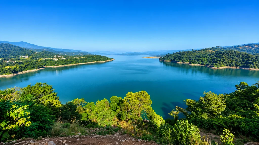
The reservoir behind Bhakra Dam is Gobind Sagar, named after Guru Gobind Singh. It stretches about 90 km upstream, covers roughly 168 sq km and is among the largest reservoirs in India. Its storage is another place where sources disagree. The Board’s specification table gives a gross storage of about 7,551 million cubic metres, while its introduction and Wikipedia cite higher figures near 9,000 million cubic metres or more, so check the source before you quote one.
The lake submerged the old town of Bilaspur and many villages. Some old temples now rise from the water when the level drops, and the lake is known for boating, water sports and winter birdwatching.
Reading the Reservoir Level
Many readers search for the Bhakra Dam water level today, but a fixed article cannot give a live number. The level changes every day with snowmelt, rain and releases. What does stay constant are the reference marks listed by the Board: a full reservoir level of 1,680 ft, a maximum water level of 1,690 ft and the top of the dam at 1,700 ft.
For orientation, a news report from one monsoon recorded the level at 1,680.5 ft, just above the 1,680 ft mark, and the Board said it would lower it by three or four feet. Levels in the low 1,500s are common in early summer, but check the Board’s reservoir data or a current news report before relying on a figure. The reading matters for flood alerts downstream along the Sutlej.
How to Visit
The Bhakra Dam viewpoint is open daily from about 6:00 AM to 8:00 PM, according to Incredible India, and October to March is the most comfortable season. Chandigarh airport is about 75 km away, Nangal railway station is about 15 km away and Chandigarh is about 115 km by road. Keep in mind that the same page lists different nearby stations elsewhere, so confirm your route. Photography rules around the structure can change, so follow the signs and ask staff.
Nearby, the Naina Devi Temple and Anandpur Sahib are popular stops, and boating on the lake suits families. Local drivers often call the whole stretch the Bhakra Nangal Dam area, so ask for the viewpoint by name to avoid ending up at the lower barrage.
Common Mix-Ups
- Two dams, one name. The tall structure is in Himachal, and the low barrage is in Punjab.
- Height versus river depth. The 740 ft figure is measured from the deepest foundation, so the wall does not stand 740 ft above the water you see.
- Reservoir size. Gobind Sagar is large, but sources rank it differently, so avoid quoting a fixed rank.
Follow the Sutlej Upstream
Few people connect Bhakra Dam to the river’s wild upper course. If you want to see where the Sutlej comes from, our Shimla Kalpa Sangla Chitkul trip follows the river valley through Rampur and Kinnaur, the same water that later fills the reservoir. For a higher adventure, browse the Himachal treks on our site.
Practical Tips
- Go early in the day, since the afternoon sun is strong on the open viewing area.
- Carry ID and avoid flying drones near the structure.
- Combine Bhakra Dam with Naina Devi and Anandpur Sahib for a full day.
- For technical details, see the Bhakra Beas Management Board’s Bhakra page, which is run by the Government of India’s managing authority.
Frequently Asked Questions
On which river is Bhakra Dam built?
It is built on the Sutlej river in Bilaspur district, Himachal Pradesh.
How tall is it?
About 740 feet (225.55 m) above the deepest foundation
Which lake does it form?
Gobind Sagar, a reservoir about 90 km long.
Who manages it?
The Bhakra Beas Management Board, formed in 1966.
How much power does it produce?
The Board lists about 1,415 MW, though Wikipedia lists 1,325 MW.
What is the full reservoir level?
1,680 feet, with a maximum water level of 1,690 feet.
The wall was finished more than sixty years ago, and it still works every day. That quiet, reliable work is what Nehru meant by a temple, and it is worth a short stop if you are in the hills.