

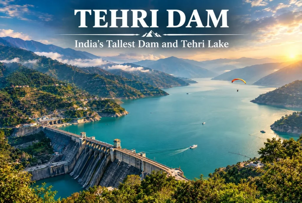
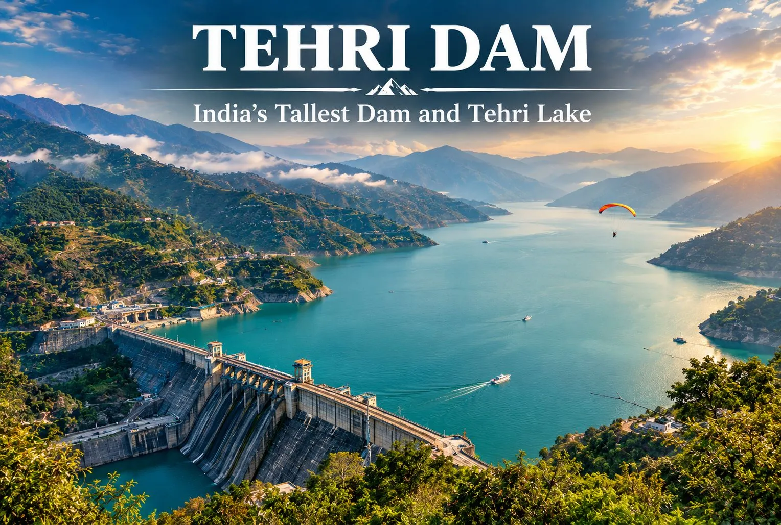
A wall of rock and earth holds back a Himalayan river, and behind it lies one of Uttarakhand’s biggest lakes. The Tehri Dam is India’s tallest dam, and the lake behind it has turned a hydropower project into a weekend destination. This guide covers the river it stands on, the facts about the dam, what to do at the lake, and the Dehradun to Tehri distance.
Table of Contents
Tehri Dam Is on Which River?
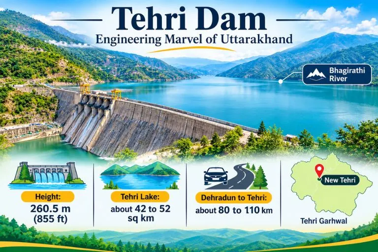
If you are wondering Tehri Dam is on which river, the answer is the Bhagirathi. It is a rock and earth-fill embankment dam on the Bhagirathi River in New Tehri, Tehri Garhwal district in Uttarakhand. The site is at the confluence of the Bhagirathi and Bhilangana rivers. The Bhagirathi is a source stream of the Ganga, and it flows down from the Gangotri region.
Tehri Dam Height and Key Facts
At 260.5 m (855 ft), the Tehri Dam is the tallest dam in India. It is owned by THDC India Limited.
| Detail | Figure |
|---|---|
| Height | 260.5 m (855 ft) |
| Length | 575 m (1,886 ft) |
| Crest width | 20 m (66 ft) |
| Base width | 1,128 m (3,701 ft) |
| Reservoir capacity | about 4 cubic km |
| Surface area | roughly 42 to 52 sq km (sources vary) |
The project provides more than 1,000 MW of hydroelectricity, and the reservoir also supports water supply and irrigation.
Tehri Lake and the Tehri Dam Reservoir
The Tehri Dam Reservoir is better known as Tehri Lake. It was created after the Bhagirathi was rerouted to fill the reservoir, and it sits among forested hills. Sources give the surface area as 42 to 52 square kilometres, so treat any single figure as approximate. Many visitors call it the Tehri Dam Lake and come mainly for the views and the water.
Tehri Garhwal: What the Lake Changed
The old town of Tehri no longer exists above water. Old Tehri is completely submerged in the lake, and the dam site is now called New Tehri. That makes this part of Tehri Garhwal a story of progress and loss, and it is a theme local people and historians still discuss.
Things to Do at Tehri Dam Lake
Tehri Lake has become an adventure spot. Activities include water sports like jet skiing and aerial activities like paragliding. Some guides also mention floating huts and houseboats for stays. The Tehri Lake Festival, an annual festival, is usually held in February. Prices and operators change, so check on arrival. If you plan to go close to the dam structure, one visitor notes that you need a pass to visit the internal areas, since it is a highly secured area. Please confirm current access rules locally.
Dehradun to Tehri Distance
The Dehradun to Tehri distance depends on where you measure to. Guides list the dam and lake at about 110 km from Dehradun and 80 km from Mussoorie, while another gives 87 km from Jolly Grant Airport to New Tehri, and another says about 70 km. In practice, expect roughly 80 to 110 km by road, usually a few hours with mountain traffic. Please check a live map for your starting point.
Best Time to Visit
One guide recommends April to June. Spring and autumn are generally comfortable for the lake and for water sports, while the monsoon can make mountain roads slippery. Winters are cold in this region, so carry layers if you go in the cooler months.
How to Reach Tehri Dam
By air: Jolly Grant Airport near Dehradun is the nearest airport, about 87 km from New Tehri.
By train: There are no railway stations serving long-distance trains in or near Tehri, so travelers usually take a train to Dehradun or Rishikesh and continue by road.
By road: Taxis and buses run from Dehradun and Mussoorie to New Tehri, and the dam is a short drive from the town.
Extending Your Trip
Tehri Garhwal sits on the Bhagirathi valley, so trekkers often continue upstream. Explore Hills’ Gaumukh Tapovan Trek leads to the source of the Bhagirathi, and the Nag Tibba Trek is a popular weekend trek close to Dehradun and Mussoorie.
For official information on the project, you can refer to THDC India Limited, the Government of India enterprise that operates the Tehri Hydro Power Complex.
What to Keep in Mind Before Visiting
- Check weather and road conditions, especially in the monsoon
- Water sports operators and prices vary, so confirm safety gear and rates first
- Carry ID, since some dam areas are restricted
- Book stays early during the Tehri Lake Festival
Conclusion
The Tehri Dam is more than a record-height wall. It is a hydropower giant, a historic loss for Tehri Garhwal, and now a lake where visitors come to relax or try water sports. Plan your route from Dehradun, check access rules, and give yourself time to enjoy the view.
Frequently Asked Questions
Tehri Dam is on which river?
The Tehri Dam is on the Bhagirathi River, near its confluence with the Bhilangana, in Tehri Garhwal district.
How tall is the Tehri Dam?
It is 260.5 m (855 ft) high and is the tallest dam in India.
What is the Dehradun to Tehri distance?
It is roughly 80 to 110 km by road, depending on whether you measure to New Tehri town or the dam and lake. Please check a live map.
What is Tehri Lake?
Tehri Lake is the reservoir created by the dam, also called the Tehri Dam Lake or Tehri Dam Reservoir, and it is used for water sports and boating.
What is the surface area of the Tehri Dam Reservoir?
Sources give about 42 to 52 square kilometers, so the figure is approximate.
What is Tehri Garhwal known for?
Tehri Garhwal is known for the Tehri Dam, the Bhagirathi Valley, and the lake created after Old Tehri was submerged.
When is the best time to visit Tehri Dam?
April to June is recommended by one guide, and spring and autumn are generally comfortable.