
Explore Hills
Checkout +91-9456580306

Dawki River Travel Guide: Everything You Need to Know

Dawki River

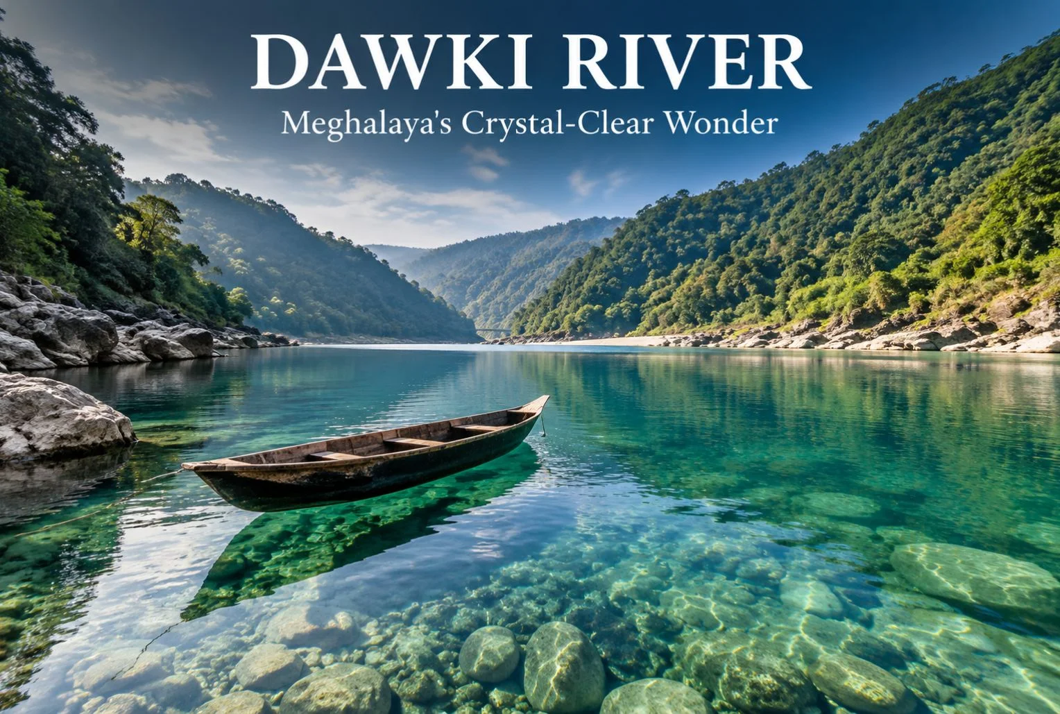
The Dawki River sits at the edge of Meghalaya, right where India meets Bangladesh, and it’s known for something most rivers in the country can’t claim: water so clear that boats appear to float in mid-air. This guide covers everything you need to plan a trip to Dawki River — where it is, when to go, how to get there, what to do once you arrive, and where to stay. By the end, you’ll have a practical route from “I want to see this” to “I’ve booked my trip.”

Dawki isn’t a large town, and that’s part of its charm. Most visitors come for a day or two, spend a few hours on the water, and leave with photographs that look edited even though they aren’t. If you’re building a Meghalaya itinerary around Shillong and Cherrapunjee, Dawki fits neatly into a longer northeastern circuit, or it can be a standalone weekend trip if you’re short on time.

Geography and Location of Dawki River

Dawki River is actually the local name for a section of the Umngot River, which flows through the West Jaintia Hills district of Meghalaya before crossing into Bangladesh. The town of Dawki sits directly on the India-Bangladesh border, and the river itself forms part of that international boundary here.

The Dawki River is located roughly 82 km south of Shillong, Meghalaya’s capital, and about 96 km from the district headquarters at Jowai. Guwahati, the largest city in the region and the main transit hub for Northeast India, is around 170 km away.

A stretch of the Umngot near the town — wide, still, and glassy — is what most tour operators and visitors refer to as Dawki Lake. It isn’t a separate lake in the geological sense; it’s a calm pool section of the same river, formed where the current slows before the water narrows again downstream. This is the part of the Dawki river Meghalaya is best known for, since it’s where the water clarity is most dramatic and where nearly all the boating happens.

The Dawki Bridge, built by the British in 1932, spans the river and connects the town to the road leading toward the Bangladesh border checkpoint. It’s a working bridge, not a tourist structure, but it offers one of the better vantage points for photographing the water below.
Discover Meghalaya

Quick Facts: Dawki River

InformationDetails
LocationWest Jaintia Hills district, Meghalaya
Also known asUmngot River
Distance from ShillongApprox. 82 km
Distance from GuwahatiApprox. 170 km
Nearest AirportShillong Airport (Umroi); Guwahati (Lokpriya Gopinath Bordoloi International Airport) for wider connectivity
Nearest Railway StationGuwahati Railway Station
Best Known ForCrystal-clear water, boating, India-Bangladesh border views
Best Time to VisitOctober to March

Best Time to Visit Dawki River and Dawki Lake

October to March is the best window to visit Dawki River. During these months, rainfall is low, the current settles, and the water reaches its clearest state — the effect that makes Dawki Lake photographs look almost unreal.

Winter (December to February) brings cool, comfortable weather and calmer water, making it the most popular season for boating and photography. Mornings can be chilly, so carrying a light jacket is worth it even though Meghalaya’s plains don’t see the kind of cold found in the Himalayan states.

Monsoon months (June to September) bring heavy rainfall to Meghalaya, one of the wettest regions in the world. The Umngot River turns brown and fast-moving during this period, and the clarity that draws people to Dawki disappears almost entirely. Boating is also frequently suspended for safety reasons when the current is strong. If clear water is the main reason for your visit, avoid this season.

Shoulder months like April, May, and early October offer a middle ground — fewer crowds than peak winter, warmer weather, and generally decent water clarity, though this can vary depending on recent rainfall.

Season Comparison

SeasonWeatherWater ClarityCrowd LevelRecommended For
Winter (Dec–Feb)Cool, dryExcellentHighBoating, photography, first-time visitors
Post-Monsoon (Oct–Nov)Mild, occasional showersVery goodModerateBalanced weather and clarity
Summer (Mar–May)Warm, humidGood, variableModerateShoulder-season travel
Monsoon (Jun–Sep)Heavy rainfallPoor, muddy waterLowNot recommended for river activities

How to Reach Dawki

Getting to Dawki River generally means routing through Shillong or Guwahati first, since Dawki itself has no airport or railway station.

By Air

The nearest airport is Shillong Airport at Umroi, though flight frequency is limited. Guwahati’s Lokpriya Gopinath Bordoloi International Airport has significantly more domestic and a few international connections, and most travelers fly into Guwahati before continuing by road.

By Train

Guwahati Railway Station is the nearest major rail hub, well connected to cities across India. From Guwahati, the journey to Dawki continues by road.

By Road

From Guwahati, it’s roughly a 170 km drive to Dawki, typically taking around 5 to 6 hours depending on road conditions and stops. From Shillong, the drive is shorter — about 82 km, usually covering in 2.5 to 3 hours. The route from Shillong passes through Pynursla and offers scenic stretches through the Jaintia Hills.

Shared taxis and private cabs run regularly from Shillong to Dawki, and this is the most common way travelers make the trip. Self-driving is also an option if you’re comfortable with hill roads, which have sharp turns but are generally in reasonable condition outside of monsoon season, when landslides can cause temporary closures.

There is no direct rail or air link into Dawki itself, so budget travel time accordingly, especially if you’re arriving from outside the Northeast.

Things to Do at Dawki River

Boating on Dawki Lake

Boating is the main draw. Local boatmen operate small wooden or plastic boats that glide across the still water, and because the river bed is often visible even at depth, it creates the illusion that the boats are suspended in air. Boats are usually rented for a fixed time slot, and rates are set by local boatmen’s associations — confirm current pricing on arrival, since it can shift with season and demand.

Photography and Scenic Viewpoints

The Dawki Bridge offers a strong elevated view of the river below, particularly in the early morning when the light is soft and the water hasn’t been disturbed by boat traffic. The riverbank near Shnongpdeng, a village upstream from Dawki town, is another well-known spot for photographs and has become a hub for river-based tourism in its own right.

Adventure Activities

Shnongpdeng has developed into something of an adventure base over the past several years, offering activities like cliff jumping, kayaking, and scuba diving in select spots. Camping along the riverbank here is popular, with several operators setting up tented stays. Confirm safety standards and equipment with any operator before booking, since regulation of adventure activities in the region is still developing.

Border Viewing and Local Villages

The India-Bangladesh border crossing near Dawki is a point of curiosity for many visitors, and the border pillar area can be viewed (though not crossed) with appropriate caution and respect for restricted zones. Nearby, Mawlynnong — often cited as one of the cleanest villages in Asia — makes for a worthwhile detour if you have an extra half-day, and it pairs naturally with a Dawki visit given the short distance between them.

If you enjoy the idea of combining river days with wider regional exploration, Explore Hills’ popular destinations page is a useful place to see how a Northeast itinerary might fit alongside other trips on your list.

Accommodation Options Near Dawki

Dawki town itself has limited lodging, so most visitors either stay in Shillong and day-trip to the river, or base themselves in Shnongpdeng, which has grown a small but functional tourism infrastructure.

  • Riverside camps in Shnongpdeng: Several operators run tented camps directly along the Umngot River, offering a closer experience to the water and often bundling boating or kayaking into the stay.
  • Budget guesthouses: Basic guesthouses in and around Dawki town cater to travelers who want to stay near the river without camping.
  • Homestays: Homestays in nearby Jaintia Hills villages offer a quieter, more local experience, though amenities are typically simple.
  • Shillong hotels: For travelers who prefer more comfort and amenities, Shillong has a much wider range of hotels, and Dawki can be covered as a day trip from there.

Booking ahead is advisable during peak winter weekends, when demand for riverside camps in particular can outpace supply.

Food and Local Cuisine

Meghalayan food centers around rice, pork, and freshwater fish, often prepared with minimal spice and a focus on smoked or fermented flavors.

  • Jadoh: A Khasi rice dish cooked with pork or other meat, often considered a staple comfort food in the region.
  • Tungrymbai: A fermented soybean preparation, distinct in flavor and commonly served as a side dish.
  • Smoked pork: A regional specialty, often cooked with bamboo shoot for added tang.
  • Freshwater fish: Given the proximity to the Umngot River, fish dishes are common in local eateries around Dawki and Shnongpdeng.

Options directly in Dawki town are limited to small local eateries and dhaba-style stalls, so don’t expect an extensive restaurant scene. If you’re particular about food variety, Shillong offers considerably more choice, from Khasi cuisine to more familiar North Indian and Chinese options.

Safety and Travel Tips

  • Life jackets: Always wear a life jacket during boating, even though the water often looks shallow and calm — depth can be deceptive.
  • Border zone etiquette: Since Dawki sits on an international border, follow all posted restrictions near the border pillar and checkpoint areas, and carry identification at all times.
  • Weather checks: Avoid river activities during or immediately after heavy rain, when the current strengthens and clarity drops sharply.
  • Road conditions: The Shillong-Dawki route can be affected by landslides during monsoon; check conditions before traveling in July, August, or September.
  • Cash access: ATMs are limited once you’re outside Shillong, so carry sufficient cash for boating fees, food, and camp stays.
  • Respect local communities: Much of the land around the river is community-owned under local Khasi and Jaintia customary systems. Stick to designated access points and avoid littering or disturbing the riverbank.
  • Plastic waste: Carry reusable bottles where possible. The clarity of the Umngot River is part of what makes it worth visiting, and local communities have worked to keep it that way.

Plan Your Dawki River Trip

Dawki River earns its reputation honestly — there aren’t many places in India where you can watch a boat appear to float on nothing. Between the river itself, the border-town setting, and nearby stops like Shnongpdeng and Mawlynnong, it’s a destination that rewards even a short visit with a lot to see and photograph. Time it right, between October and March, and you’ll get the river at its clearest.

If this has you thinking about a broader Northeast India trip or want help structuring a longer travel itinerary around Meghalaya, Explore Hills’ upcoming trek packages and weekend packages are worth browsing for ideas on pairing this trip with other routes.

Frequently Asked Questions

What is the best time to visit Dawki River?

October to March offers the clearest water and most comfortable weather. Winter (December–February) is peak season for boating and photography.

How far is Dawki River from Shillong?

Dawki is approximately 82 km from Shillong, a drive that typically takes 2.5 to 3 hours by road.

Is Dawki River the same as Dawki Lake?

Not exactly. Dawki Lake is the local nickname for a wide, still stretch of the Umngot River near Dawki town — it’s the same river, not a separate water body.

How do I reach Dawki from Guwahati?

Guwahati to Dawki is about 170 km by road, usually taking 5 to 6 hours depending on traffic and road conditions.

Is boating safe for children and elderly travelers?

Boating is generally manageable for most age groups when life jackets are worn and boats are hired from registered local operators, but check individual comfort levels with water activities beforehand.

Can I cross the border into Bangladesh from Dawki?

The border checkpoint near Dawki handles official trade and immigration; it isn’t a casual tourist crossing point, so plan to view the border area rather than cross it unless you have the appropriate travel documentation and purpose.

What should I pack for a Dawki River trip?

Light layers, a change of clothes in case you get wet, sunscreen, a reusable water bottle, and cash for local expenses.

Is Shnongpdeng worth visiting separately from Dawki town?

Yes. Shnongpdeng has more developed camping and adventure activity options and is often considered the better base for a longer stay near the river.
Unlock the 10 best treks in India for Ultimate Adventure

10 best treks in india

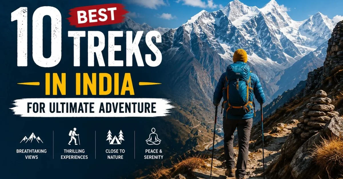
Trekking has become one of the most popular activities in India, that nature enthusiasts and the thrill-seekers to the country’s most breathtaking mountains. Straight from the serenity of the mountain tracks and peaceful valleys to challenging the Himalayas highest-peaks, every track route offers an exploding blast of unforgettable landscapes and freezing moments. No matter if you are looking for a beginner-friendly trekking point or a demanding high-altitude adventure, traverse through the countless trekking places across the country. Planning you next outdoor escape? This guide will brief you about the best treks in India that promises stunning landscapes, memorable adventures and experiences.

Valley of Flowers Trek

  • Region: Uttarakhand 
  • Duration: 6 days 
  • Grade: Easy to moderate 
  • Best time: Monsoon 
  • Distance: 37 km

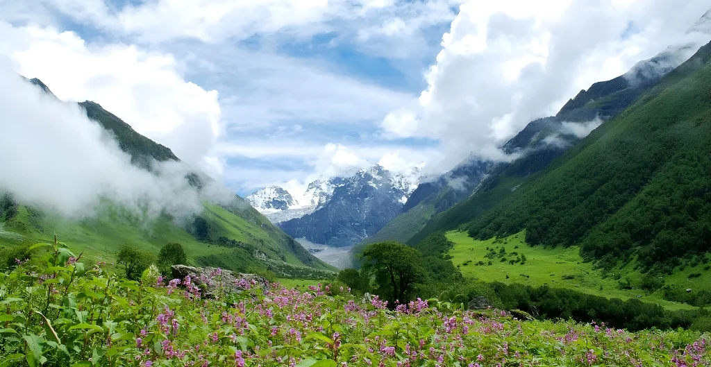
As the name suggest “Valley of Flower” well-known for the stunning valley adorned with beautiful flowers that are widely spreaded across the landscape.  This trek is the perfect blend of beauty, adventure and spirituality. This UNESCO World Heritage Site is located in the Uttarakhand’s Chamoli district and comes alive during the monsoon season around 500 species of colorful alpine forests including the rare Brahma Kamal and Himalayan blue Poppy. This one of the most beautiful treks in India takes you through lush forests views, sparkling waterfalls, flowing streams and scenic mountain valleys before reaching the breathtaking views of Valleys of Flowers. Along this journey, will also offer you the chance to vitness one of the world’s highest Sikh’s Shrines “Hemkund Sahib” set beside a crystal-clear glacial lake. Suitable for beginners with a reasonable level of fitness, this easy-to -moderate trek offers unforgettable views of the Himalayas and stands as one of the most beautiful trekking places in India.  Although this place is open only for few months this special experience should be enjoyed by every trekking enthusiast atleast once in a lifetime.

Valley of Flowers Trek Package

Tarsar Marsar Trek

  • Region: Kashmir 
  • Duration: 7 days 
  • Grade: Moderate 
  • Best time: Monsoon 
  • Distance: 48 km

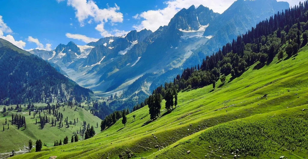
Marsar Trek is one of the most beautiful alpine treks in Kashmir, passing through crystal clear glacial lakes, green meadows, pine forests and stunning mountain landscapes. This trek is of moderate level and is about 48 km long, it will take you 7 days from the beautiful Aru Valley, starting on foot from Srinagar. You’ll be passing through the rolling meadows of Shekwas enroute, and the beautiful Tarsar Lake, where you can camp next to the water. This journey also takes you to Sundarsar and the viewpoint with a view of the enigmatic Marsar Lake, set against dramatic scenery and towering cliffs. The final stretch takes you into the Overa-Aru Wildlife Sanctuary where you’ll head back down to the Sind Valley. The ultimate time to enjoy this walk is between July and September when the valleys are full of wildflowers, the weather is good and mountains are at their best. Marsar Trek is a Tarsar trek which is suitable for the trekkers with good fitness level and provides an unspoiled and memorable natural beauty to Kashmir.

Rupin Pass Trek

Rupin Pass Trek
  • Region: Himachal Pradesh 
  • Duration: 7 days 
  • Grade: Moderate to difficult 
  • Best time: Summer 
  • Distance: 41 km 

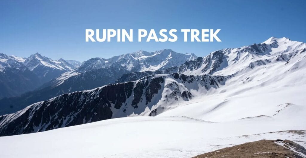
The Rupin Pass Trek is one of the most exciting crossover treks in the Indian Himalayas, connecting Himachal Pradesh and The Rupin Pass Trek is one of the most adventurous treks that traverses the Indian Himalayas and crosses from Himachal to Uttarakhand with changing landscape. The walk, which starts at Jiskun in HP, ends at the beautiful Sangla Valley, spanning about 43 km in 7 days. Each day offers something new, from the picturesque hanging villages to the lush pine forests, to coloured meadows, snow bridges and the amazing 1,500-foot-tall Rupin Waterfall. The best part of the hike is the crossing of the Rupin Pass at about 15,350 ft where the trekker is rewarded by spectacular views of the adjacent Himalayan peaks. A challenging to difficult hike, appropriate for those with some prior trekking experience and good fitness level. For snow trails the best time to visit is May – June and for clear skies, pleasant weather and beautiful mountain views, it is September – October.

Rupin Pass Trek Package

Ranthan Kharak Trek

  • Region: Uttarakhand 
  • Duration: 7 days 
  • Grade: Moderate 
  • Best time: Summer/Autumn 
  • Distance: 37 km 

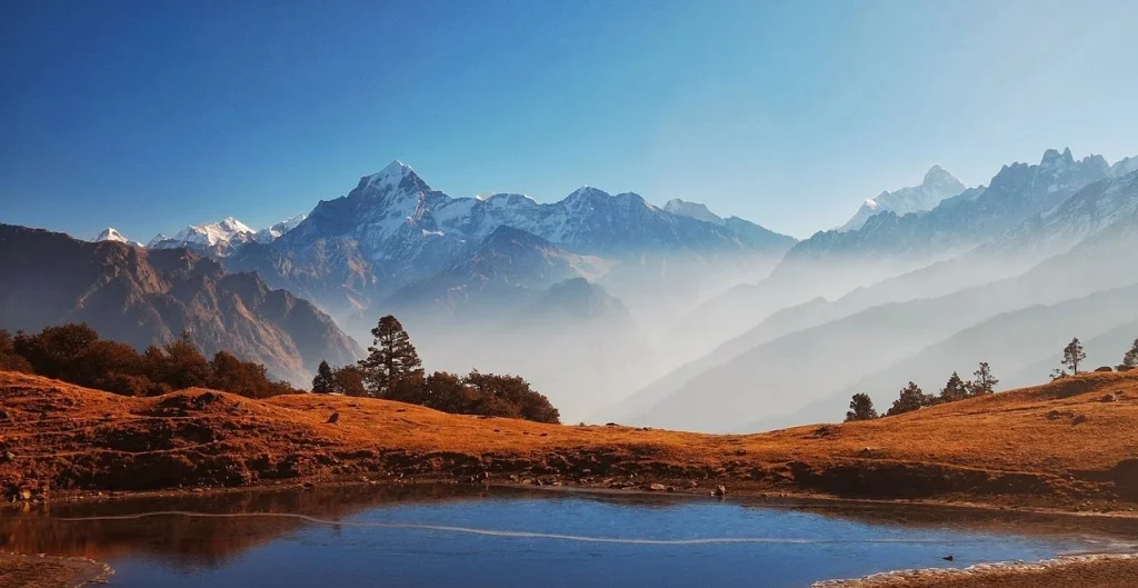
This 7-day trek is accessible on moderate grade trek, the best time to vitness it during summer/autumn season, a distance of 37km in region Uttarakhand. Ranthan Kharak Trek is one of the most less crowed treks in the Kumaon region in Uttarakhand. This is also one of the most peaceful trek which lasts from approximately 6 to 7 days, covering a distance of approximately 36-38 km and ends at Gogina Village reaching the altitude of approximately 12,900-13,300 ft.  As you will through the thick woods you will experience the full beauty of the breathtaking views of well-known Himalayan summits like Nanda devi, Nanda kot and Panchachuli range. The ideal visiting period is from March to June, During the green spring and flowering of the forests or from September to November during the clear skies.  

 Sandakphu Trek

  • Region: West Bengal 
  • Duration: 7 days 
  • Grade: Moderate 
  • Best time: Spring/Summer/Autumn/Winter 
  • Distance: 68 km 

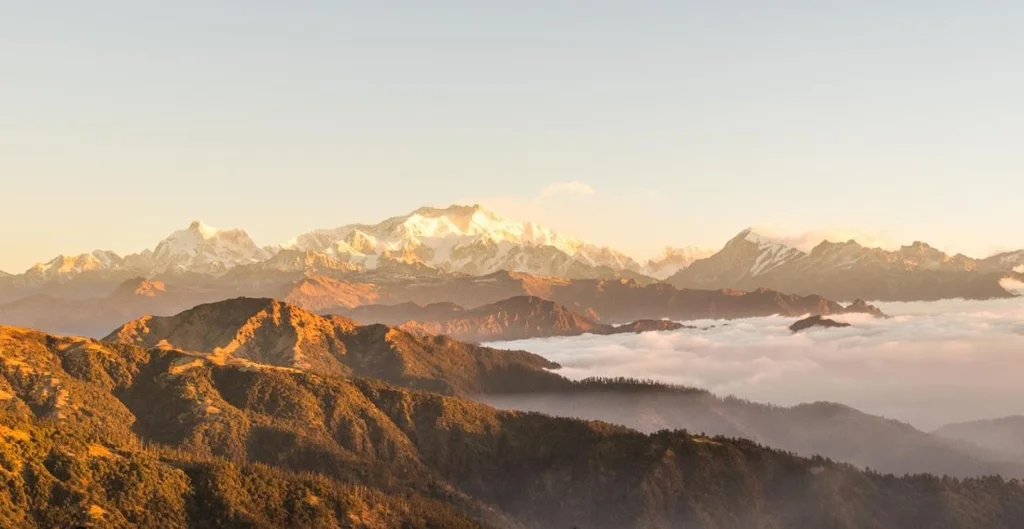
The Sandakphu is the tallest peak of West Bengal and the highest peak of Singalila Ridge, Sandakphu is the most favourite peak among the trekkers. From here the iconic silhouette of the “Sleeping Buddha” is visible as well as a unique four-in-one shot of some of the highest mountains in the world: Everest, Kanchenjunga, Lhotse and Makalu. However, you will also be able to spot the typical view of the Himalayas and small villages that will give you a true to life experience of the culture and heritage. The one thing which makes this trek different is that you have comfortable teahouses to stay in, where you don’t get to see on most Indian treks. Infact it is on both sides of Indo-Nepal Border, you begin in Sepi, India and before you know it, you are in Nepal. Sunrises and sunsets here are second to none and even from the top the sun is seen rising or setting in a cloudy sea.  

Bali Pass Trek

Bali Pass Trek
  • Region: Uttarakhand 
  • Duration: 8 days 
  • Grade: Difficult 
  • Best time: Summer/Autumn 
  • Distance: 60 km 

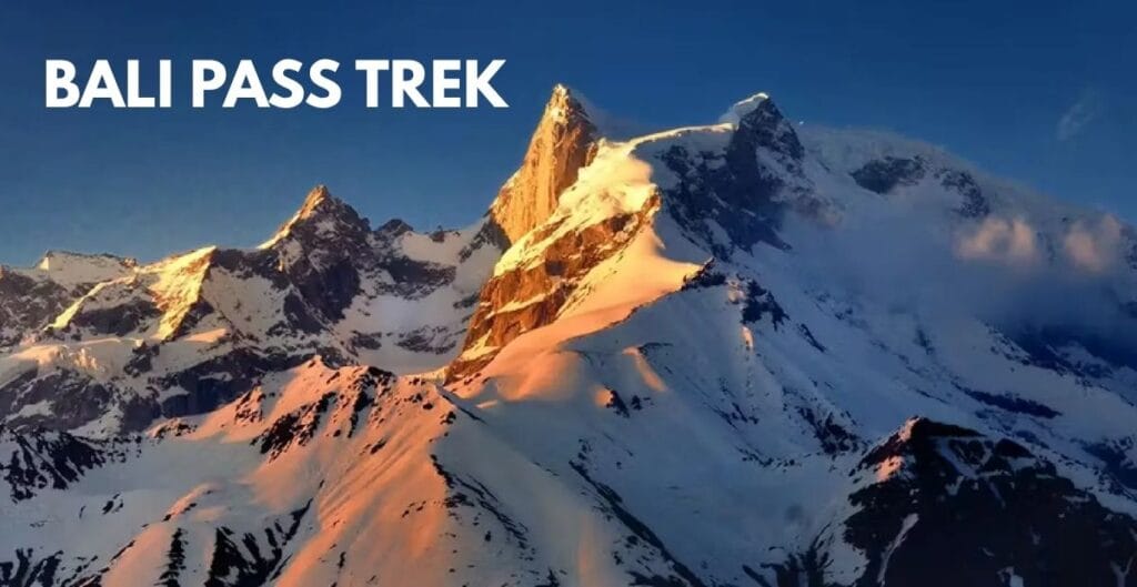
Bali Pass trek is one of the most thrilling treks and one of the toughest treak in Uttarakhand which connects Har Ki Dun Valley with the holy town of Yamunotri. The trek covers about 55 km, takes 8 to 9 days and goes up to a staggering altitude of 16207 ft which is ideal for the advanced trekkers with superb fitness. The path also runs through the clean and green Govind Pashu Vihar National Park which witnesses the majestic Himalayas peaks like Mt. Swargarohini, Bandarpoonch and Kala Nag. As one goes, they will pass through numerous valleys and at the top of the mountain the alpine meadows, glacial lakes such as Ruinsara Tal, snow, and the rugged Bali Pass at the end. The steep ascent, and narrow ridges and technical descents create a fun and challenging experience for experienced trekkers. The walk from Sankri is one of the most rewarding hikes in the Indian Himalayas and will give you some of the most beautiful views, a feeling of remoteness and many interesting experiences.

Bali Pass Trek Package

Doodhpathri Trek

  • Region: Kashmir 
  • Duration: 7 days 
  • Grade: Moderate to difficult 
  • Best time: Monsoon/Autumn 
  • Distance: 49 km 

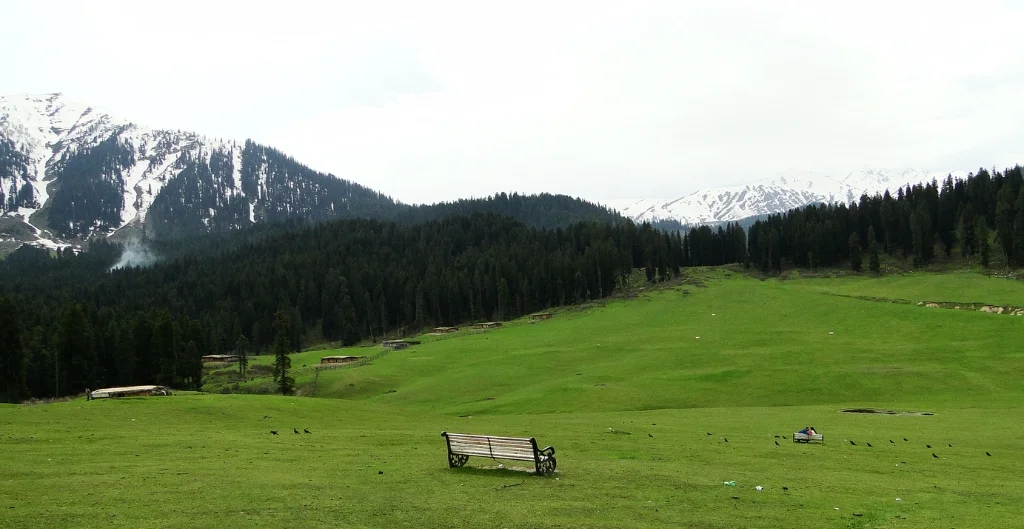
The Doodhpathri Trek is a hidden gem in Kashmir, perfect for trekkers who want to explore peaceful trails away from the crowds. The journey is a moderate trek of 6-7 days that commences near Doodhpathri, 2 hours’ drive from Srinagar, passing through the scenic Pir Panjal Range. En route, you will cross through the rich and fertile alpine meadows, cross sparkling glacial streams, visit the scenic Ashtaar Valley, and the spectacular high-altitude lakes – Gurwansar & Damamsar. The white rivers running through Doodhpathri are frothy and hence it is called “Valley of Milk”, the landscape is stunning, wildflowers are in vibrant colors and the camp sites are quiet, surrounded by mountains. The climb will take you to approximately 13,060 feet, which is a moderate level of fitness and proper acclimatization. The ideal time is the start of mid-July through mid-August when the meadows will be green and the flowers will be blooming and the weather will be perfect for hiking. 

Surya Top

  • Region: Uttarakhand 
  • Duration: 7 days 
  • Grade: Moderate 
  • Best time: Summer/Autumn 
  • Distance: 32 km

Hidden in the valleys of Garhwal region of Uttarakhand, Surya-Top is a beautiful 7-days trek that covers around 31km. This trek leaves you witnessing the serene villages of Raithal to the wide alpine meadows of Dayara Bugyal, and the 12,900-ft Surya Top summit. This view offers a God’s eye perspective leaving you astonished through the stunning views of the Gangotri mountain range and the majestic Mt. Bandar Poonch.  This is a moderate-level trek, making it a perfect choice for beginners with good fitness so if you are looking for one of the best options for Trekking in India Surya top is Surely the one for you.  

Goechala Trek

  • Region: Sikkim 
  • Duration: 11 days 
  • Grade: Difficult 
  • Best time: Spring/Summer/Autumn 
  • Distance: 90 km

One of the best treks in India is the Goechala Trek where “Goechala translates to “Goecha Pass” in which “la” means mountain pass in the Tibetan and Sikkimese languages). This high-altitude trek is located in the west Sikkim, India is known for offering one of the closest views of Mt. Kanchenjunga sitting at an elevation of 4,940 meters. This trip covers approx. 90km in 11 days where you can experience the true beauty of nature with vibrant pink, purple, white and red rhododendrons making your trek truly exuberant. Not only this but the trek passes through Alpine meadows. Quiet monastery and a Kanchenjunga National Park, a UNESCO world Heritage, which is also a home to Red Pandas, Blue Sheeps, Himalayan Tahr and many more. On the way you will pass through a beautiful camp site such as Tshoka, Dzongiri, Thansing, a crystal-clear Samiti Lake and finally reach the famous Goechala viewpoint. From there the trekkers seems to have a beautiful view of the sunrise over Kanchenjunga and other wonderful peaks like Pandim, Kabru, Rathong and Goecha Peak of the Himalayas. This is one of the best mountains treks is perfectly suitable for fit and seasoned trekkers, with the best time to do it in autumn season (September to November) and Spring (March to May). In Short, this trek is a complete package of dramatic typography, rich biodiversity, Sikkimese culture and all the Himalayan views that will worth freezing the moment.  

Chandrakhani Pass Trek

  • Region: Himachal Pradesh 
  • Duration: 4 days 
  • Grade: Easy to moderate 
  • Best time: Summer/Monsoon 
  • Distance: 20 km

For the beginners who wants to experience the perfect blend of adventure, scenic beauty and culture of the Himalayas the Chanderkhani Pass Trek is the one. This Trek covers a distance of about 26km and takes 5 days to finish, starting from Rumsu village, nearer to Manali, to the Chanderkhani Pass (12185 ft) at the end of the trail. This trail offers various break taking views of Pir Panjab and Dhauladhar mountain ranges and traverses thick deodar forests, abundant alpine meadows and serene mountain ridges. On the way, you can also enjoy the beautiful Magic Valley and see the historic village of  Naggar that is rich in heritage and culture. This easy to moderate trek is ideal for beginners and those who are a nature enthusiast who want to see the beauty of the Himalayas without taking on an extremely difficult challenge with gradually ascents and well-defined trails.

Frequently Asked Question’s

What is the most beautiful trek?

The Kashmir Great Lakes Trek is considered as one of the most beautiful treks in India. Here you can cover 74-kmof distance discovering across 5 distinct valleys and 7 pristine, high-altitude 
glacial lakes.

What are the top 10 toughest treks in India?

The top toughest treks in India that lets the trekkers push his/her limits mentally as well as physically are:  
1.Kalindi Khal Trek, Uttarakhand 
2.Chadar Trek, Ladakh 
3.Pin Parvati Pass Trek, Himachal Pradesh to Spiti 
4.Auden’s Col Trek, Uttarakhand 
5.Traill’s Pass Trek, Uttarakhand 
6.Panpatia Col Trek, Uttarakhand 
7.Stok Kangri Trek, Ladakh 
8.Kang La Trek, Ladakh to Zanskar 
9.Lamkhaga Pass Trek, Himachal to Uttarakhand 
10.Dhumdhar Kandi Pass, Uttarakhand 

What are the top 10 best treks in India for beginners?

The top 10 best treks in India that are beginners friendly includes:  
1.Nag Tibba Trek, Uttarakhand 
2.Dayara Bugyal Trek, Uttarakhand 
3.Triund Trek, Himachal Pradesh 
4.Beas Kund Trek, Himachal Pradesh 
5.Chopta Chandrashila & Deoriatal Trek, Uttarakhand 
6.Kedarkantha Trek, Uttarakhand 
7.Ali Bedni Bugyal Trek, Uttarakhand 
8.Sandakphu Phalut Trek, West Bengal 
9.Chandrakhani Pass Trek, Himachal Pradesh 
10.Hampta Pass Trek, Himachal Pradesh 

Which is the easiest trek?

 Nag Tibba Trek, is one of the easiest and most suitable Himalayan treks for the beginners, sitting at an altitude of 9,915km letting you cover 8km in 2 days

Which time is best for trekking?  

The best time for trekking is usually recommended during autumn season (September to November), as during these months the post-monsoon weather is crisp and clear letting you experience the 
panoramic views and snow-capped peaks.