Table of Contents
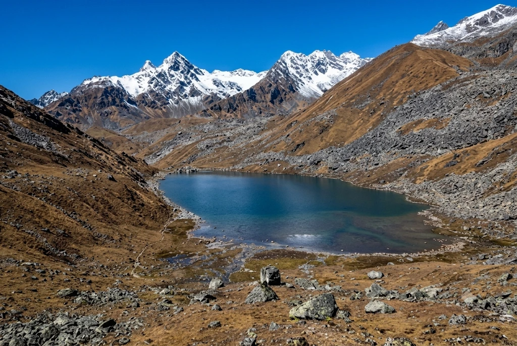
Most pilgrims who reach Kedarnath turn around after darshan. A few keep walking uphill, past the last tea stall, into thin air and loose rock, until a patch of glassy water appears below a ridge with the Chaukhamba peaks standing behind it. Vasuki Tal is that lake: small, silent and sacred, reached only on foot at over 4,000 metres.
This article keeps to what can be checked. It covers where the lake is, the legends tied to it, the trek, the season and the rules, and it flags every place where sources disagree.
Vasuki Tal at a Glance
| Detail | What to know |
|---|---|
| Altitude | About 4,135 metres (roughly 13,566 feet) |
| Location | Above Kedarnath, Rudraprayag district, Uttarakhand |
| Distance | About 8 km from Kedarnath, by official listings |
| Best months | May to mid-June and mid-September to October |
| Landmark | Chaukhamba peaks, Brahma Kamal flowers |
| Winter | Frozen over and closed to trekkers |
Where the Lake Sits Above Kedarnath
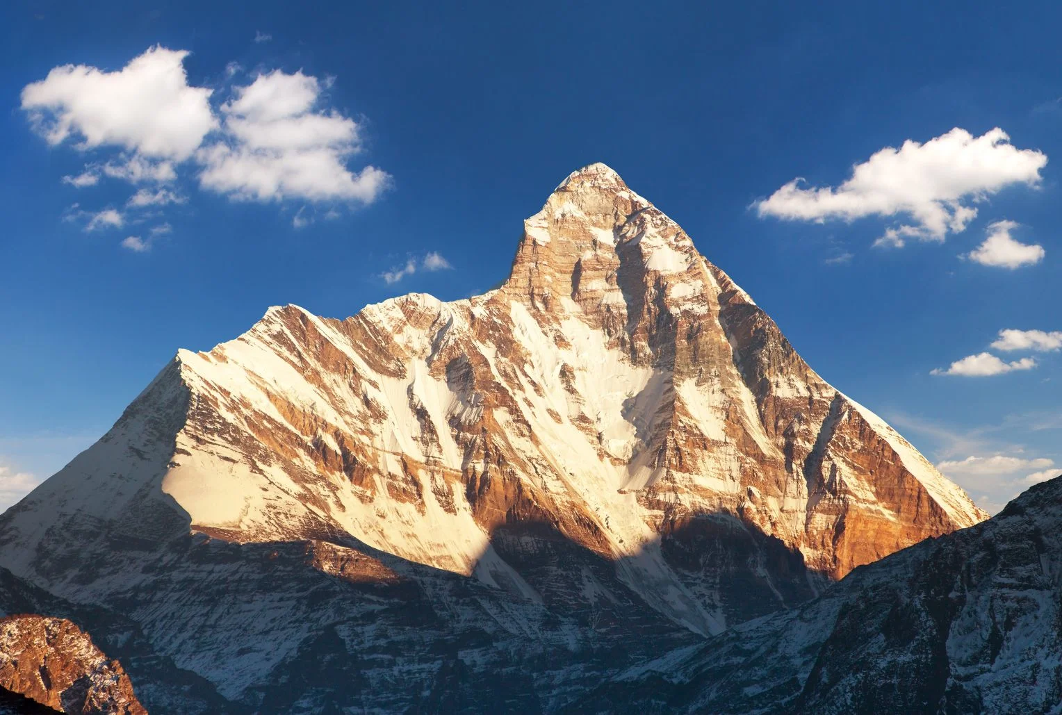
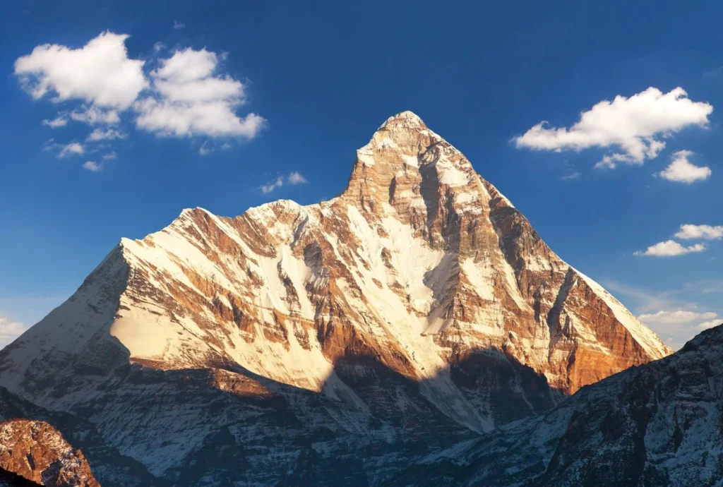
The lake lies in the high Mandakini basin in the Rudraprayag district of Uttarakhand, within the Kedarnath Wildlife Sanctuary. Tall mountains ring it, and on a clear day the Chaukhamba massif rises behind the water. On the Vasuki Tal Kedarnath route, the stretch above the temple is often called “the last part of the pilgrimage”.
The altitude is usually given as 4,135 metres by the Rudraprayag district administration, though some surveys list figures closer to 4,231 metres and one operator page gives about 4,330 metres. The differences come from the reference point used on the shoreline. The Vasuki Tal water is clear enough to show rock stacks below the surface, and the whole lake freezes in winter.
Vasuki Tal History and the Legends Around It
There is no dated historical record for the lake, so its story rests on tradition, and the article treats it that way. Two accounts are repeated most often. One says Lord Vishnu bathed in the lake on Raksha Bandhan. The other links it to Vasuki, the king of serpents, who is said to have performed penance here after the churning of the cosmic ocean.
Vasuki is the serpent who coiled round Shiva’s neck, which is why the lake is associated with Shaiva worship and why pilgrims at Kedarnath often count it among the sacred sites nearby. Both stories are presented by guides as belief, not documented history, and that is the honest way to read them.
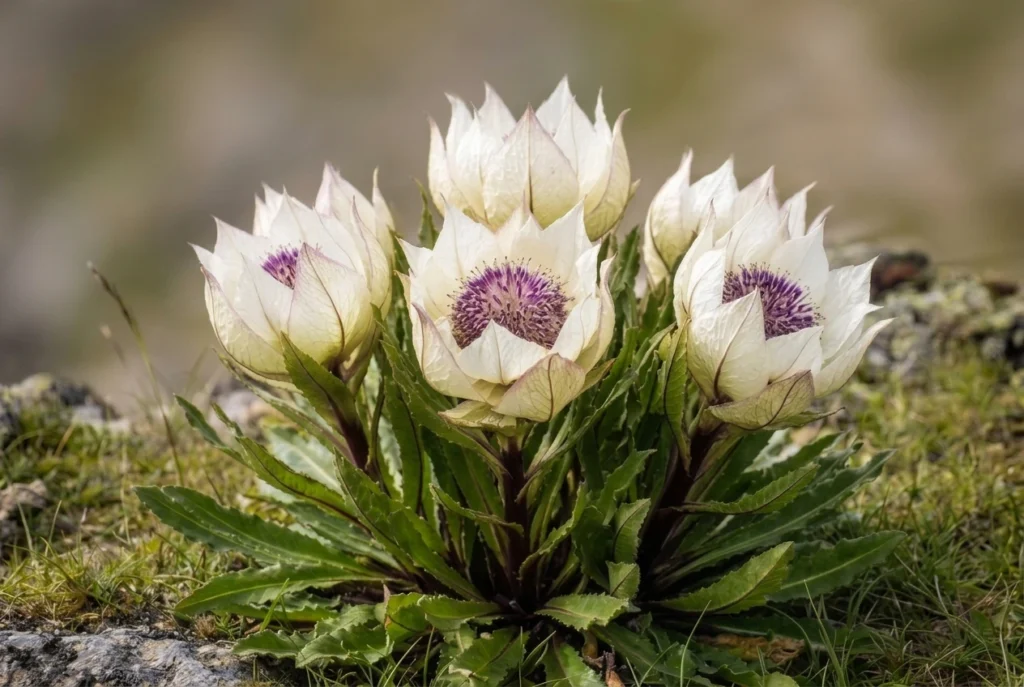
What can be observed is the setting. In summer, the Brahma Kamal, the Himalayan lotus, grows around the shore, usually flowering between July and September. The flower is revered in Uttarakhand, and seeing it is a highlight, though that season overlaps with monsoon weather.
The Vasuki Tal Trek, Stage by Stage
The Vasuki Tal trek is an add-on to the Kedarnath pilgrimage. Gaurikund is the end of the motorable road, and the walk from there to the temple is about 16 to 18 kilometres depending on the source. The lake is beyond that, so most trekkers spend a night at Kedarnath to adjust to the altitude.
- Kedarnath temple (about 3,580 m): Start before sunrise, because afternoon weather in the valley turns quickly.
- Climb to Vasuki Top: A steady uphill walk along a narrow track over loose rock. It crosses glacier ground, including the Chaturangi and Vasuki glaciers, with ravines to watch for.
- Descent to the lake: From the top, the lake lies roughly a kilometre below, a short and steep drop.
- Return to Kedarnath: Published estimates put the full round trip at five to eight hours.
The Kedarnath to Vasuki Tal distance is about 8 kilometres one way according to the Rudraprayag district administration and the Shri Kedarnath Charitable Trust. A few operator pages say 5 or 6 kilometres, probably measuring to Vasuki Top. Treat 8 kilometres as the safer figure when planning your day.
The Vasuki Tal trek is rated moderate to difficult. The altitude, the final steep stretch and the loose terrain make it harder than the distance suggests, and people with heart, lung or blood pressure problems should consult a doctor first.
Reaching the Trailhead
Vasuki Tal has no road of its own. The journey starts by road to Guptkashi, which sits at about 1,319 metres on the Kedarnath route, and continues through Phata to Gaurikund, the last motorable point. One guide says the current route diverts from Sonprayag towards Gomkara, where trekkers cross the Vasuki Ganga, so ask locally which path is in use. Haridwar and Rishikesh are the usual starting cities, and the pilgrimage trail to Kedarnath forms the first leg of any Vasuki Tal trek.
Permits, Rules and Official Notes
The route is inside the Kedarnath Wildlife Sanctuary, which the Kedarnath Wildlife Division manages. Registration for the Char Dham Yatra is compulsory for anyone travelling to Kedarnath. Beyond that, sources are unclear on whether a separate trekking permit is needed for the lake, and one blog’s fee figures could not be verified from an official source, so they are not quoted here. Confirm the current rules with the forest office at Sonprayag or a registered operator.
Camping is also uncertain. The official itinerary treats the lake as a day trip from Kedarnath, so do not plan to pitch a tent unless the forest department confirms it.
There is a much longer alternative that starts in Gangotri and passes through the Tapovan region. It runs through Gangotri National Park, where group sizes and fees are restricted, and it is a serious expedition for experienced parties.
Best Time to Visit Vasuki Tal
The best windows are May to mid-June and mid-September to October. Winter closes the route to Vasuki Tal, with heavy snow and a frozen lake. The monsoon months are risky because of landslides, and one source says trekking is not allowed in the rains. The Kedarnath shrine itself closes for winter, usually in late October or November, so check the dates for the year.
If your aim is Brahma Kamal, you will need to accept more weather risk, since it bl ooms in July and August. If your aim is a clear view of Chaukhamba, the dry weeks of May and June or late September are better.
Staying Safe on the Climb
- Spend a night at Kedarnath to acclimatise, and descend at the first sign of severe altitude symptoms.
- Start early and turn back if thunderstorms, thick cloud or poor visibility set in.
- Travel in a group, since the trust page advises parties of at least six.
- Mobile coverage is unreliable above the temple, so download offline maps and tell someone your return time.
- Carry waterproofs, gloves, a warm hat, sunscreen, water and snacks, as nothing is sold beyond Kedarnath.
For official information, see the Rudraprayag district administration’s page on lakes, published by the Government of Uttarakhand. If you want other Garhwal high-altitude walks, our Kuari Pass guide covers a gentler ridge trek, and our Roopkund article covers the glacial lake further east.
Frequently Asked Question’s
How high is Vasuki Tal?
It is listed at about 4,135 metres (roughly 13,566 feet) by the Rudraprayag district administration, though some sources give slightly different figures.
What is the Kedarnath to Vasuki Tal distance?
It is about 8 kilometres one way by official listings, and the round trip takes roughly five to eight hours.
Is the Vasuki Tal trek difficult?
It is moderate to difficult because of the altitude, loose rock and glacier crossings, so acclimatise at Kedarnath first.
What is the legend of Vasuki Tal?
Tradition says Vishnu bathed in the lake on Raksha Bandhan and that the serpent king Vasuki did penance there.
When is the best time to visit Vasuki Tal?
May to mid-June and mid-September to October are the best windows, since winter freezes the lake and the monsoon brings landslides.
Do I need a permit for Vasuki Tal?
Char Dham Yatra registration is compulsory, and the route lies in a wildlife sanctuary, so confirm any extra permit with the forest office.
Vasuki Tal is not large and it is not easy to reach, and that is the point of it. After the crowds and bells of Kedarnath, an hour beside still water under Chaukhamba feels like the quiet end of the pilgrimage.