

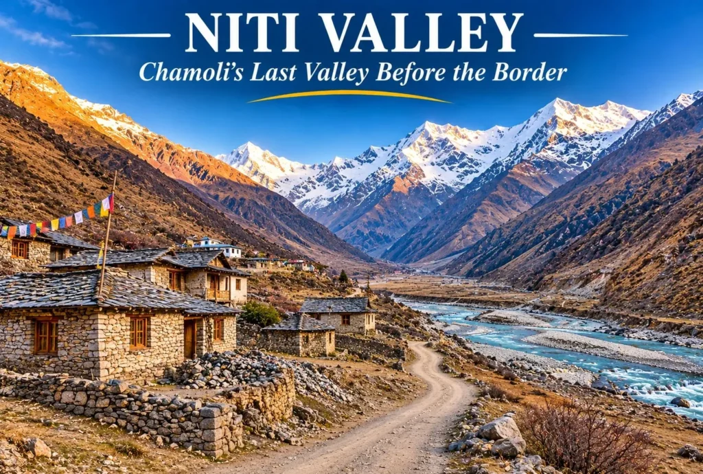
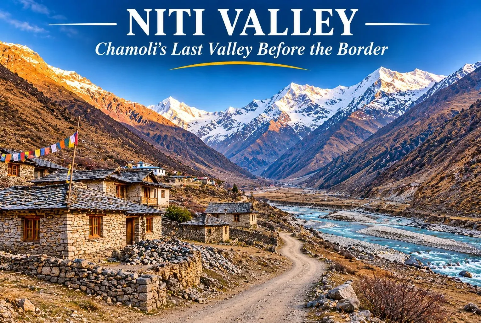
Beyond Joshimath, the road climbs along the Dhauliganga into a high, quiet valley where stone villages sit beneath bare peaks and the border with Tibet is not far. Niti Valley is one of the most remote corners of Uttarakhand, known for its Bhotiya villages, wide meadows, and strict border rules. It is open to travelers for only part of the year, so planning matters. This guide covers where Niti Valley lies, Niti village, Niti Pass, the weather and temperature, permits, and how to reach it.
Table of Contents
Where Is Niti Valley?
Niti Valley is named after Niti village and lies in Joshimath tehsil of Chamoli district, in the northernmost part of Uttarakhand, along the Dhauliganga river. Its upper end is at about 3,600 m (11,811 ft). Villages along the way include Lata, Kaga, Dronagiri, Garpak, Malari, Bampa, Gamshali, and Niti, and most are home to the Bhotiya (Marchha) community. The area also lies close to the Nanda Devi Biosphere Reserve.
Niti Village: The Last Village Civilians Can Reach
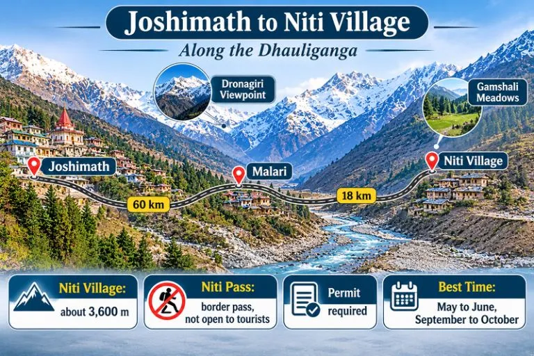
Niti village is at about 3,600 m and is roughly 80 to 90 km from Joshimath, depending on the source. It is generally described as the last village that civilians can reach before the Indo-Tibet border. Most residents move to lower altitudes in winter and return in April, so many stone houses stand empty for months. Near the village, tradition speaks of the Timmersain Mahadev cave, where an ice Shivling is said to form in winter.
Niti Pass: A Border Pass You Cannot Cross
Niti Pass is an international mountain pass on the India-Tibet border, listed at about 5,086 m (16,686 ft) in one reference. It was once an ancient trade route between India and Tibet, and some accounts say it was closed to trade after the 1962 war. Today it is a sensitive border area and is not open to tourists. Travellers can go as far as Niti village, and only with the required permissions, so do not plan to reach the pass itself.
Niti Valley Weather
The Niti Valley weather depends heavily on the season. Late spring and early autumn are the most comfortable, with clear skies and mild days, while the monsoon brings rain and landslides along the road. The long winter, roughly October to March, brings heavy snow and makes the area hard to live in, which is why the villages empty out. Weather can change quickly at this altitude, so check forecasts and road status before you travel.
Niti Valley Temperature by Season
The Niti Valley temperature is cool even in summer. One trek guide gives about 10 to 20°C for the summer trekking months, and another puts post-monsoon temperatures near Malari at about 4 to 12°C. Nights are near or below freezing, and winters fall well below freezing. These figures are approximate, since reliable monthly data is limited.
| Season | Months | What to expect |
|---|---|---|
| Spring | April to May | Cold nights, snow patches, villages reopening |
| Summer | May to June | About 10 to 20°C by day, cold nights |
| Monsoon | July to August | Rain, landslides, slow roads |
| Autumn | September to October | Clear skies, about 4 to 12°C, crisp air |
| Winter | November to March | Heavy snow, valley effectively closed |
Best Time to Visit Niti Valley
The best time to visit Niti Valley is May to June and September to October. The valley is effectively closed from about November to April because of snow, and the villages are empty then. Late August and September are especially pleasant after the monsoon, with clear skies and green slopes.
Permit Rules for Niti Valley
The area is close to the border, so an Inner Line Permit is generally needed for the Malari and Niti stretch, with additional permission beyond Malari. Permits are handled by the Chamoli district administration through the Joshimath SDM office, and the process has been moved online. Sources differ on the fee and on whether the valley itself needs a permit apart from the village, and foreign nationals are generally not allowed. Rules have also been under discussion, so confirm the current requirements before you go. Carry a valid ID, follow instructions from the army and border personnel, and avoid photographing sensitive installations.
How to Reach Niti Valley
Joshimath is the gateway. From there, Malari is about 60 to 61 km by road, taking 2.5 to 3 hours, and Niti village is about 18 km beyond Malari. Joshimath is about 500 km from Delhi, a drive of roughly 12 to 14 hours. The nearest railway station is Rishikesh, and the nearest airport is Jolly Grant, about 350 km from Niti by road. Shared jeeps and taxis run from Joshimath toward Malari, and mobile networks and ATMs are limited beyond it, so carry cash.
Things to Do in Niti Valley
- Follow the Dhauliganga River and stop at viewpoints along the road, including Dronagiri, roughly halfway to Niti
- Walk through Malari and Gamshali to see Bhotiya stone houses and meadows
- Take short walks and day treks from Gamshali and Bampa
- Visit Niti village, the farthest point open to civilians
- Photograph the high peaks and barren landscapes, respecting border rules
- Learn about Bhotiya culture and the seasonal migration of the villages
Extending Your Trip
After Niti Valley, many travelers return to the Joshimath and Auli region. Explore Hills’ Kuari Pass Trek is a classic high-altitude trek close to Joshimath, and the Pangarchulla Peak Trek suits trekkers who want a summit in the same area.
For official adventure tourism information on the valley, you can refer to the Ministry of Tourism’s Adventure Tourism page on Niti Valley, the Government of India’s official portal.
Tips for Niti Valley Visitors
- Acclimatise for a day at Joshimath before heading higher
- Carry warm layers, rain protection, and your own water
- Apply for permits early and keep copies of your ID
- Travel only in daylight and check road conditions
- Respect local customs and carry your waste back out
Conclusion
Niti Valley is a place for travellers who value quiet, culture, and mountain views over comfort. Choose the right season, arrange your permit, and go with respect for the border and for the Bhotiya communities who live here.
Frequently Asked Question’s
Where is Niti Valley located?
It is in Joshimath tehsil of Chamoli district, Uttarakhand, along the Dhauliganga river, close to the Indo-Tibet border.
What is Niti Village known for?
It is generally described as the last village civilians can reach before the border, and it is known for its Bhotiya culture and winter migration.
Can tourists visit Niti Pass?
No, it is a sensitive border pass that is not open to tourists. Travellers can go only as far as Niti village, with the required permissions.
What is the Niti Valley weather like?
It is cool and clear in late spring and early autumn, wet in the monsoon, and very snowy in winter, when the valley is effectively closed.
What is the Niti Valley temperature in summer?
Daytime figures of about 10 to 20°C are quoted, with cold nights that can fall near or below freezing.