

Table of Contents
For travellers leaving Manali, there is a point on the road where the pine forests thin out, the air gets sharper and the hairpin bends begin to feel endless. Then the road tops out, and on a clear day you are standing in a bowl of snow peaks with the green Kullu valley behind you and the dry, brown country of Lahaul stretching ahead. That moment is Rohtang Pass, and for generations it was the only way across the Pir Panjal range into the high Himalayan valleys beyond.
This article covers what people most often ask about it: Rohtang Pass height, the distance from Manali, how the weather changes through the year, how the permit system works and what changed after the Atal Tunnel opened beneath it.
Rohtang Pass Height and Altitude
Start with the numbers. The Rohtang Pass altitude is 3,978 metres, or about 13,050 feet, above sea level. Different sources round it to 3,980 metres or 13,058 feet, and you will see small variations, but every figure sits at roughly 4,000 metres. That is high enough that thin air, headaches and sudden cold are real concerns, even if you are only stopping for an hour.
The Rohtang Pass height places it among the major motorable passes in the Indian Himalayas, though it is lower than Khardung La or Baralacha La further north. What makes it unusual is how easily you can reach it. Most visitors arrive by car from Manali in a few hours, which means they gain close to 2,000 metres in height in one morning, without any time to adjust. If you feel dizzy, breathless or nauseous, descend and rest rather than pushing on.
Where Is Rohtang Pass
Rohtang Pass sits in the eastern Pir Panjal range, on the Manali–Leh highway, and links the Kullu valley with the high-altitude desert of Lahaul and Spiti. It also forms a natural divide between two river systems. On the Manali side, the land drains towards the Beas river, which rises near the pass, while on the far side the waters flow into the Chandra river and onwards towards the Chenab.
The Manali to Rohtang Pass distance is about 51 kilometres by road, and the drive typically takes two to three hours without traffic, though in peak season it can stretch to six hours or more. The road climbs steeply through Palchan, Solang Valley and the Gulaba checkpost, so give yourself a full day. Start early, because clouds usually roll in by late morning and block the views.
Why Is It Called Rohtang, and What Is Rohtang La?
You will often see the pass written as Rohtang La. In Tibetan and Ladakhi, “la” simply means a mountain pass, so Rohtang La and Rohtang Pass are the same place, one name used in the Himalayan languages and the other in English.
The name Rohtang itself is usually translated as “pile of corpses” or “field of corpses,” with roots said to lie in Persian. The grim name points to the pass’s history. For centuries, traders carried goods across it between Kullu and Lahaul, and sudden blizzards killed many travellers and animals. Even today, weather can change within an hour, which is why it is treated with respect.
A Trade Route Before It Was a Tourist Spot
Before the modern road, Rohtang Pass was one of the main crossing points of the Pir Panjal, used by traders, pilgrims and shepherds moving between the Kullu valley, Lahaul and, beyond them, Ladakh and Tibet. The paths were narrow and snow-blocked for months, which is why Lahaul was cut off from the rest of the country for around six months every year.
That changed in stages. The Border Roads Organisation (BRO) built and upgraded the road over several decades, making it passable to vehicles. Even so, the pass stayed closed for much of the year, and heavy traffic during the summer put pressure on the fragile mountain environment, which led to the modern permit system.
Rohtang Pass Weather by Season
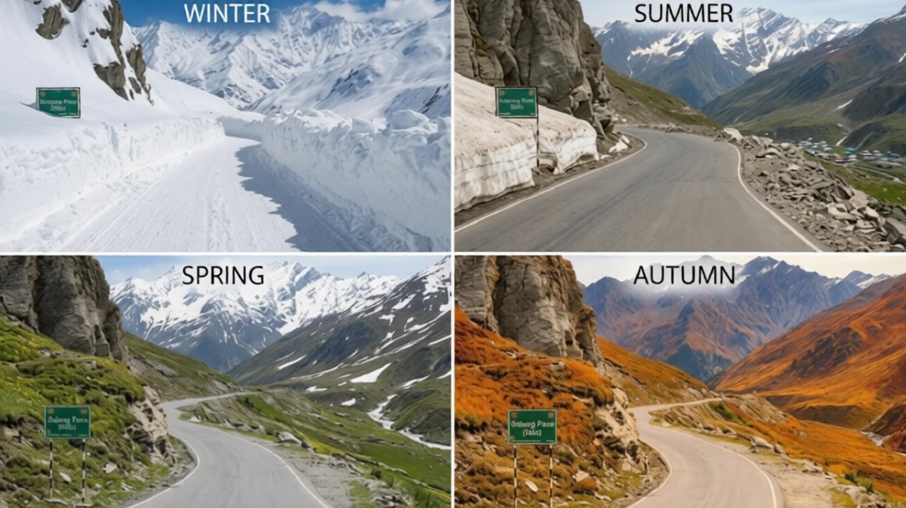
Rohtang Pass weather is unpredictable, and it differs from Manali’s. A sunny morning in the town can turn into a snowy afternoon at the top.
- Winter (roughly November to April): Heavy snow covers the pass and the road is closed to normal traffic. Temperatures drop well below freezing, and avalanches and black ice are common.
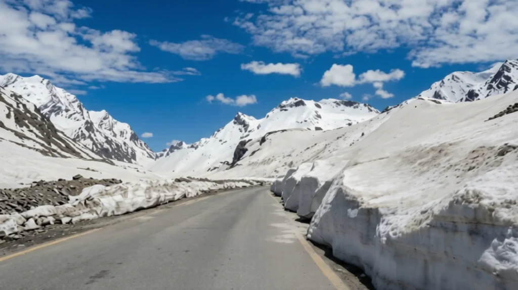
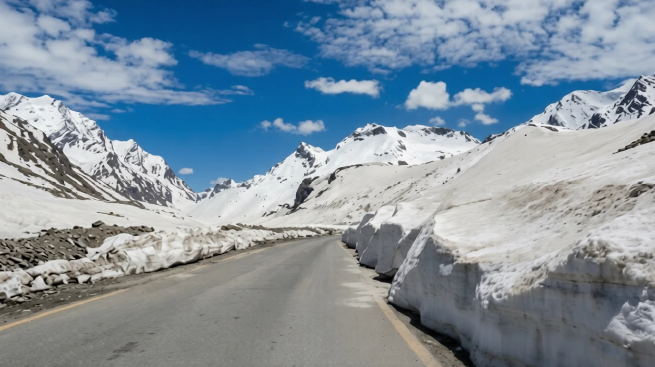
- Spring (late April to May): The BRO clears the snow in stages, often leaving walls of snow several metres high on either side of the road. Vehicles are usually allowed up to the lower checkpoints first, and further as the road opens. Even in late May, sudden snowstorms can close access.
- Summer (June to September): The most reliable period, with cool days and open roads, though rain and fog can interrupt visibility. Snow remains in patches on the higher slopes.
- Autumn (October): Clear skies and crisp air, but early snow can close the road with little warning, sometimes as early as the first half of the month.
The usual season runs from about mid-May to late October. Officials decide each year when the road opens and closes, so check current status before you travel. Carry warm layers, sunglasses and sunscreen even in summer, since the sun is strong at this height.
Rohtang Pass Permit: Current Rules
A permit is required for vehicles travelling over the pass from the Manali side, and the system was introduced to limit traffic and protect the area, with the support of the National Green Tribunal. The permit applies to the vehicle, not to each passenger, and it is needed beyond the Gulaba checkpost.
According to recent guides, the main points are:
- Booking: The Rohtang Pass permit is booked online through the Himachal Pradesh government’s official permit portal, which has moved to a new web address, so use the link from the state’s official channels.
- Fee: The tourism permit is about 500 rupees per vehicle plus a congestion charge of around 50 rupees for cars, with higher rates for buses.
- Quota: The daily cap for tourist vehicles is around 1,200, split between petrol and diesel vehicles, and slots are released in batches.
- Documents: Vehicle registration, a valid pollution certificate and a driver’s photo ID are required.
- Printout: Carry a printed copy, since it is checked at Gulaba.
Rules are updated often, including the booking window and any weekly closure day, so confirm the latest details on the official portal before you pay anything.
The Atal Tunnel and What It Changed
In October 2020, the Atal Tunnel opened beneath Rohtang, and it has changed how most people travel. The 9.02-kilometre tunnel connects Manali with Sissu in Lahaul, bypasses the pass entirely and works all year, which cut the journey to Lahaul by about 46 kilometres and several hours. You do not need a Rohtang Pass permit to use the tunnel.
That means there are now two different trips. If your goal is to reach Lahaul, Spiti or Leh, the tunnel is faster and safer. If you want snow, views and the experience of Rohtang Pass itself, you still take the old road to the top, with a permit. Our Atal Tunnel article covers the tunnel’s length, safety features and rules in more detail.
What to See and Do
The road itself is part of the experience. On the way up, you pass Solang Valley, popular for skiing, paragliding and snow activities, and Rehala Falls. Near the top, the snow fields and glaciers make for dramatic views, and on clear days you can see the peaks of the Pir Panjal and the Lahaul side. Rohtang Pass is also the starting area for treks such as the one to Bhrigu Lake.
Snow activities such as sledding or snow scooters are available in season, but be careful about quality and prices, and avoid unlicensed operators.
Practical Tips Before You Go
- Start before 6:30 AM to avoid traffic and cloud.
- Carry water, snacks and cash, since facilities at the top are limited.
- Wear layers, gloves and waterproof shoes.
- Acclimatise in Manali for a day if you are coming from the plains.
- Fill fuel in Manali, and check the road status with local police.
- If you are planning more Himalayan travel, our Kuari Pass guide covers a gentler high-altitude ridge walk.
- For official visitor information, see the Incredible India page on Rohtang Pass, the Government of India’s tourism portal.
Frequently Asked Question’s
What is the height of Rohtang Pass?
Rohtang Pass stands at 3,978 metres (about 13,050 feet) above sea level in the Pir Panjal range.
What is the distance from Manali to Rohtang Pass?
It is about 51 kilometres by road, and the drive takes two to three hours in good conditions, longer during peak traffic
Do you need a permit for Rohtang Pass?
Yes, vehicles crossing the pass from the Manali side need an online permit, which is checked at the Gulaba checkpost. It is not needed for the Atal Tunnel.
When is the best time to visit Rohtang Pass?
The road is usually open from about mid-May to late October, with June to September generally the most reliable period
What does Rohtang mean?
The name is usually translated as “pile of corpses,” a reference to the travellers who died crossing it in bad weather in the past
Is Rohtang Pass the same as Rohtang La?
Yes. “La” means pass in Tibetan and Ladakhi, so the two names refer to the same place.
The pass is no longer the only road to Lahaul, but it remains the one worth taking slowly. The tunnel is the practical choice, yet the old road offers what a tunnel cannot: the steep bends, the thinning air and that first moment of standing on a ridge with snow on every side.