Some treks are about the summit, and some are about everything on the way there. Har Ki Dun belongs firmly to the second category—a route where the mythology, the villages, and the valley itself matter just as much as any single viewpoint along the way.
Table of Contents
What Is Har Ki Dun Valley?
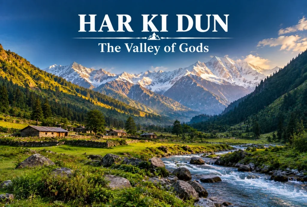
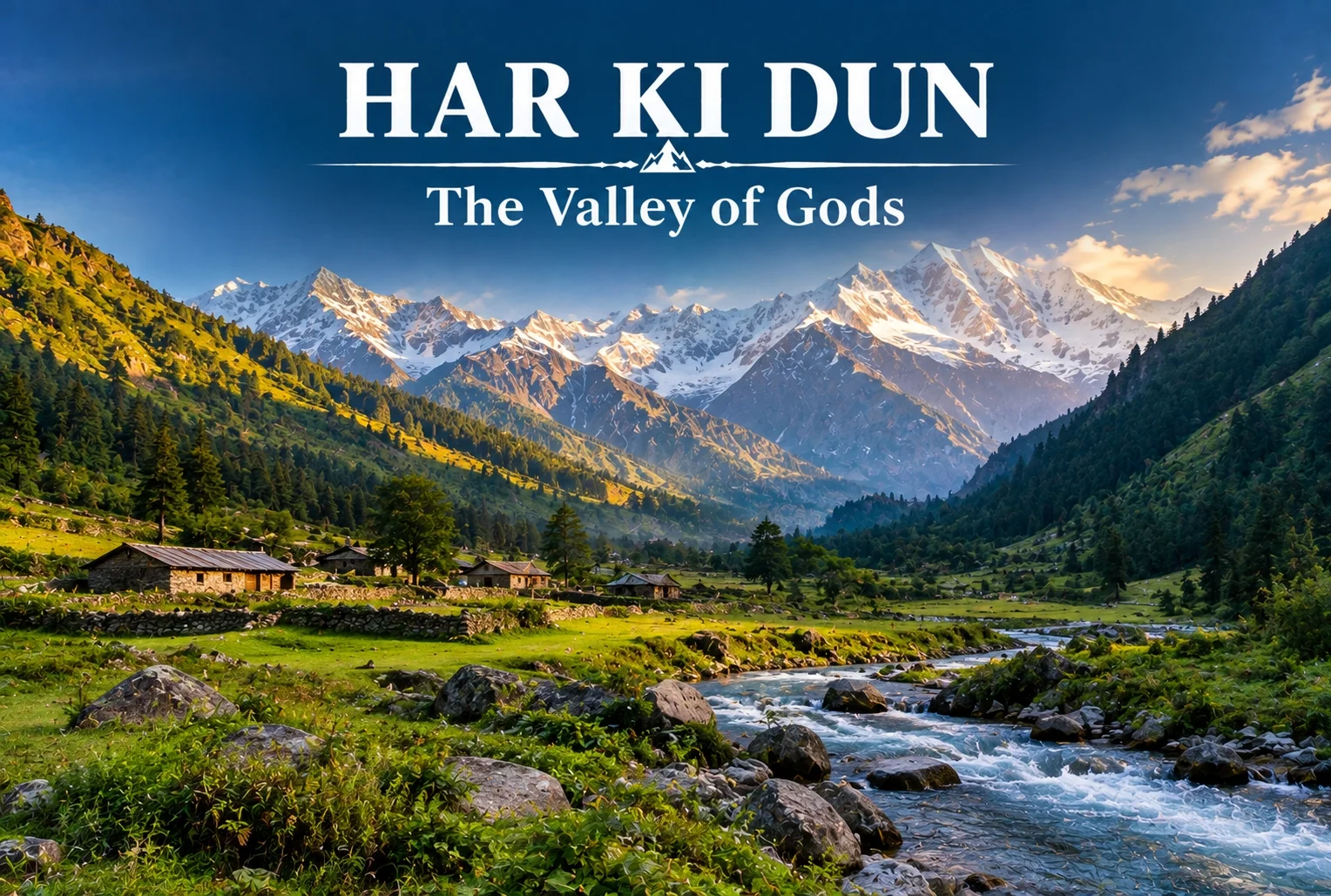
The Har Ki Dun valley is known locally as the “Valley of Gods,” a name tied to the deep mythology woven into this route. Local legend holds that the Pandavas walked this very path on their journey to heaven after the events of the Mahabharata, and that story follows trekkers the entire way, giving the trail a weight that goes beyond its scenery, impressive as that scenery already is.
Har Ki Dun Height and Altitude
The Har Ki Dun height at its highest point reaches approximately 3,566 meters (around 11,700 feet), making it a moderately high-altitude trek that rewards trekkers without demanding extreme technical skill. The Har Ki Dun altitude gain is gradual across the route, which helps with acclimatization compared to treks that push higher, faster.
Har Ki Dun Trek Distance
The Har Ki Dun trek distance covers roughly 47 km round trip from Sankri, typically completed over a 6-7 day itinerary that includes stops at Osla, Seema, and the valley itself before the return journey. The trail moves through thick forest, open meadow, and streams clear enough to stop and simply look at, breaking the distance into manageable daily stretches rather than one long push.
| Trek Segment | Approximate Distance | Terrain |
|---|---|---|
| Sankri to Osla/Seema | 12-14 km | Forest trail, riverside path |
| Seema to Har Ki Dun | 12 km | Meadow and valley terrain |
| Har Ki Dun to Sankri (return) | 23-24 km | Same route, often split over 2 days |
Har Ki Dun Trek Best Time
The Har Ki Dun trek best time falls between April and June, and again from September to November, when the trail is clear and mountain views are at their sharpest. Winter (December to March) brings heavy snow that makes the higher stretches significantly harder, while monsoon months (July to August) are generally avoided due to slippery paths and reduced visibility.
| Season | Approximate Temperature | Conditions |
|---|---|---|
| April–June | 8°C to 20°C (daytime) | Clear trails, blooming meadows |
| July–August (monsoon) | Cooler, heavy rainfall | Slippery paths, generally avoided |
| September–November | 5°C to 18°C (daytime) | Crisp air, best mountain visibility |
| December–March | Sub-zero at higher stretches | Snow-covered, advanced trekkers only |
The Villages Along the Way
You’ll pass through Osla and Seema, villages where daily life hasn’t shifted much in generations. Osla in particular is worth slowing down for — its old wooden houses are striking, and there’s a temple there once dedicated to Duryodhana, now home to Lord Someshwar, a small but telling reminder of how layered this region’s history really is. The Supin River stays with trekkers for most of the walk, and every so often the tree line breaks just enough to reveal Swargarohini I and II, Bandarpoonch, the dark bulk of Kala Nag (Black Peak), and eventually the Jaundar Glacier.
Har Ki Dun Trek Package: What’s Usually Included
A typical Har Ki Dun trek package bundles transport from Dehradun to Sankri, camping equipment, meals, and a guide across the full 6-7 day itinerary, which takes most of the logistical planning off a first-time trekker’s plate. Given the trek’s length, most packages are built around a full week away rather than a quick weekend trip.
How to Reach Sankri
By Air
The nearest airport is Jolly Grant Airport in Dehradun, roughly 200 km from Sankri.
By Train
Dehradun Railway Station is the nearest major railhead, connected to Sankri by road via Mussoorie and Purola.
By Road
Sankri is accessible by road from Dehradun, roughly 200 km away, typically covered by shared taxi or private vehicle over 8-10 hours given the mountain terrain.
Extending the Trip
Since Sankri serves as the shared base village for several routes in this region, many trekkers pair this trek with a shorter winter route on a separate trip. Explore Hills’ Kedarkantha Trek shares the same base village and offers a completely different, shorter winter trekking experience for those wanting to explore more of the Sankri region. For travelers seeking another mythology-rich valley trek in the same part of the Garhwal Himalayas, Explore Hills’ Ali Bedni Bugyal Trek is worth considering as well.
For official weather forecasts and road conditions for the Sankri and Govind Wildlife Sanctuary region, you can refer to the India Meteorological Department, the Government of India’s official weather agency.
What to Pack
- Sturdy trekking shoes suited for multi-day forest and riverside trails
- Layered clothing for shifting daytime and nighttime temperatures
- A rain jacket, especially important outside the peak season windows
- Basic first-aid essentials and personal medication
- A warm sleeping bag for the multi-night camping stretches
Conclusion
Har Ki Dun isn’t a trek you rush through—the villages, the river, and the mythology are as much the point as the valley itself. Between the moderate altitude, the manageable daily distances, and the sheer depth of history along the trail, it remains one of the most rewarding multi-day treks in the Garhwal Himalayas for trekkers willing to spend a full week on the trail.
Frequently Asked Questions
What is the Har Ki Dun trek distance?
The round trip covers roughly 47 km from Sankri, typically completed over a 6-7 day itinerary including stops at Osla and Seema.
What is the Har Ki Dun height at its highest point?
The highest point reaches approximately 3,566 meters, or around 11,700 feet above sea level.
What is the Har Ki Dun trek best time to visit?
April to June and September to November offer the clearest trails and best mountain visibility for this trek.
What does the Har Ki Dun altitude gain look like across the route?
The altitude gain is gradual, spread across the multi-day itinerary, which helps with acclimatization compared to steeper high-altitude treks.
What is included in a typical Har Ki Dun trek package?
Most packages include transport from Dehradun to Sankri, camping gear, meals, and a guide for the full 6-7 day trip.
Why is Har Ki Dun valley called the Valley of Gods?
Local legend holds that the Pandavas walked this path on their journey to heaven, giving the valley its name and spiritual significance.