
Garhwal Himalayas

Explore articles related to this topic from ExploreHills.

Explore by Category

5 articles
Har ki Dun
Nature, Lakes and Waterfalls

Har Ki Dun: The Valley of Gods and Its Ancient Trail

Some treks are about the summit, and some are about everything on the way there. Har Ki Dun belongs firmly to the second category—a route where the mythology, the villages, and the valley itself matter just as much as any single viewpoint…
September 18, 20266 min read
Highest Mountain in India
Hill Stations and Mountain Destinations

Highest Mountain in India: Kangchenjunga, Nanda Devi and Kamet Explained

India’s northern frontier is defined by some of the most formidable terrain on Earth. Stretching across the Himalayas, the Karakoram, and the Garhwal ranges, the country is home to dozens of peaks soaring above 7,000 metres. But when it comes to identifying…
September 16, 20267 min read
NAG TIBBA
Trekking and Adventure

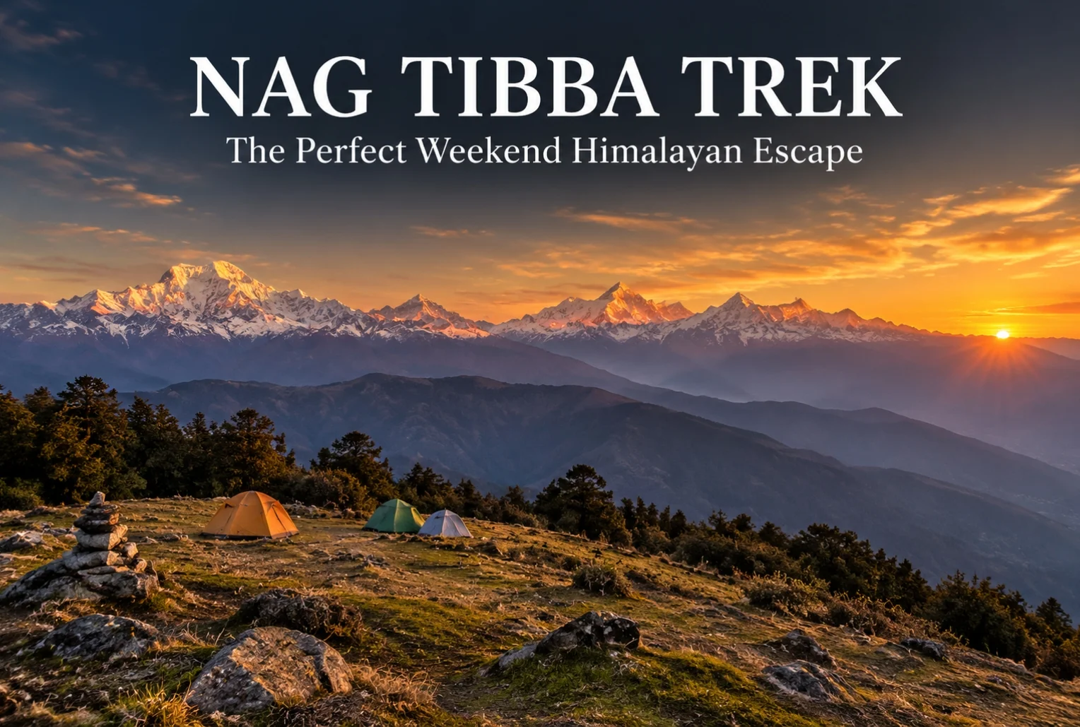
Nag Tibba: The Weekend Trek That Doesn’t Feel Like a Compromise

For anyone stuck choosing between a proper Himalayan trek and the limits of a two-day weekend, Nag Tibba solves that problem better than almost any other route in Uttarakhand. It’s close enough to Dehradun and Mussoorie to fit into a short trip,…
September 16, 20265 min read
Auli Uttarakhand
Hill Stations and Mountain Destinations

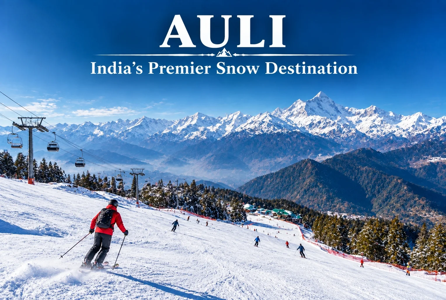
Auli: India’s Premier Snow Destination in the Garhwal Himalayas

Auli, Uttarakhand, has quietly become one of India’s most sought-after winter destinations, drawing travelers who’d rather see snow-capped Himalayan slopes up close than settle for a distant photograph from the valley below. This guide covers everything worth knowing before planning a trip…
September 15, 20266 min read
Char Dham Yatra
Temples and Spiritual Places

Char Dham Yatra: The Ultimate Guide to Uttarakhand’s Sacred Pilgrimage

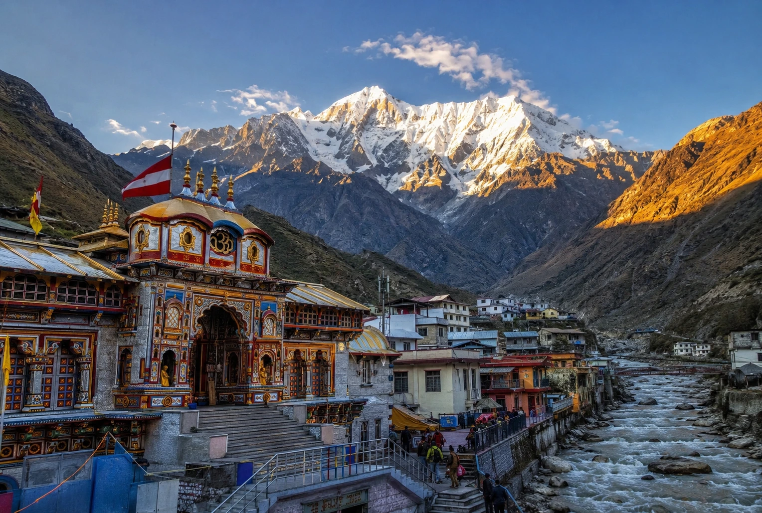
Tucked into the folds of the Garhwal Himalayas, the Char Dham Yatra is one of Hinduism’s most revered pilgrimage circuits, drawing lakhs of devotees to four sacred shrines every year. The journey takes pilgrims through Yamunotri, Gangotri, Kedarnath, and Badrinath — each…
September 4, 20267 min read

Har Ki Dun: The Valley of Gods and Its Ancient Trail

Har ki Dun

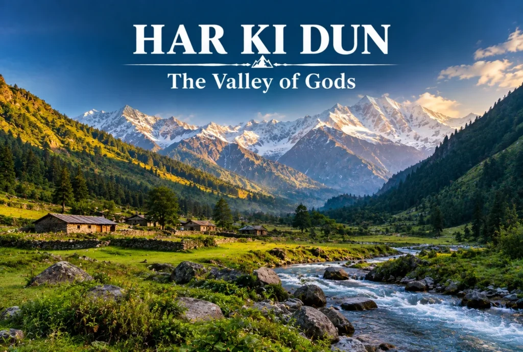
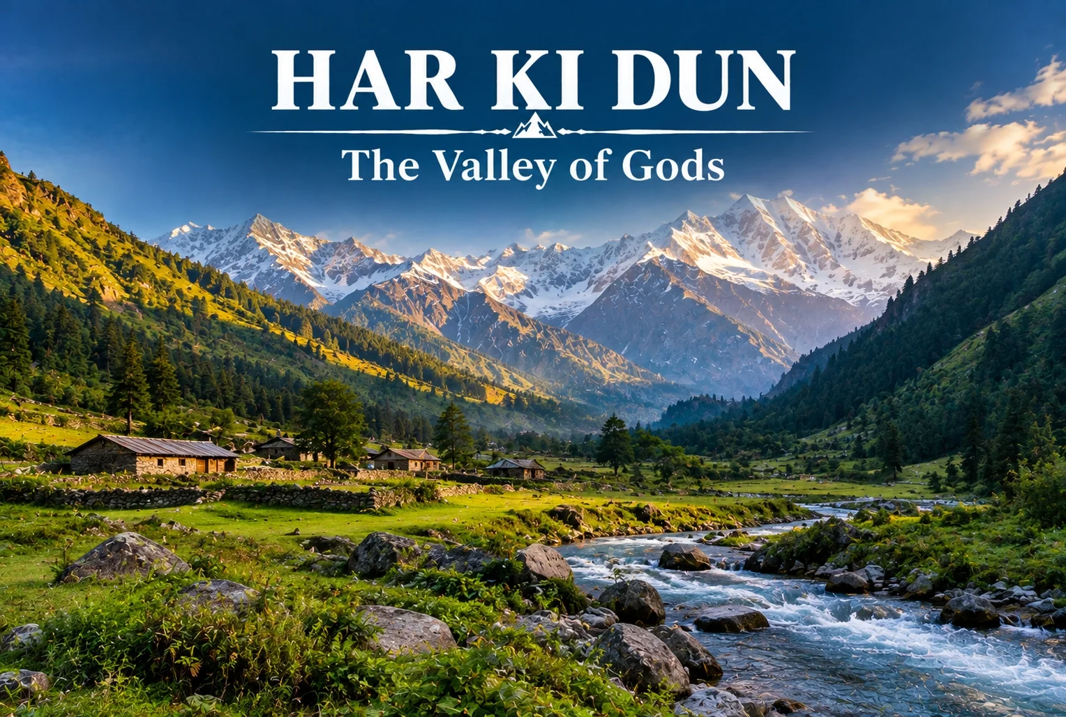
Some treks are about the summit, and some are about everything on the way there. Har Ki Dun belongs firmly to the second category—a route where the mythology, the villages, and the valley itself matter just as much as any single viewpoint along the way.

What Is Har Ki Dun Valley?

The Har Ki Dun valley is known locally as the “Valley of Gods,” a name tied to the deep mythology woven into this route. Local legend holds that the Pandavas walked this very path on their journey to heaven after the events of the Mahabharata, and that story follows trekkers the entire way, giving the trail a weight that goes beyond its scenery, impressive as that scenery already is.

Har Ki Dun Height and Altitude

The Har Ki Dun height at its highest point reaches approximately 3,566 meters (around 11,700 feet), making it a moderately high-altitude trek that rewards trekkers without demanding extreme technical skill. The Har Ki Dun altitude gain is gradual across the route, which helps with acclimatization compared to treks that push higher, faster.

Har Ki Dun Trek Distance

The Har Ki Dun trek distance covers roughly 47 km round trip from Sankri, typically completed over a 6-7 day itinerary that includes stops at Osla, Seema, and the valley itself before the return journey. The trail moves through thick forest, open meadow, and streams clear enough to stop and simply look at, breaking the distance into manageable daily stretches rather than one long push.

Trek SegmentApproximate DistanceTerrain
Sankri to Osla/Seema12-14 kmForest trail, riverside path
Seema to Har Ki Dun12 kmMeadow and valley terrain
Har Ki Dun to Sankri (return)23-24 kmSame route, often split over 2 days

Har Ki Dun Trek Best Time

The Har Ki Dun trek best time falls between April and June, and again from September to November, when the trail is clear and mountain views are at their sharpest. Winter (December to March) brings heavy snow that makes the higher stretches significantly harder, while monsoon months (July to August) are generally avoided due to slippery paths and reduced visibility.

SeasonApproximate TemperatureConditions
April–June8°C to 20°C (daytime)Clear trails, blooming meadows
July–August (monsoon)Cooler, heavy rainfallSlippery paths, generally avoided
September–November5°C to 18°C (daytime)Crisp air, best mountain visibility
December–MarchSub-zero at higher stretchesSnow-covered, advanced trekkers only

The Villages Along the Way

You’ll pass through Osla and Seema, villages where daily life hasn’t shifted much in generations. Osla in particular is worth slowing down for — its old wooden houses are striking, and there’s a temple there once dedicated to Duryodhana, now home to Lord Someshwar, a small but telling reminder of how layered this region’s history really is. The Supin River stays with trekkers for most of the walk, and every so often the tree line breaks just enough to reveal Swargarohini I and II, Bandarpoonch, the dark bulk of Kala Nag (Black Peak), and eventually the Jaundar Glacier.

Har Ki Dun Trek Package: What’s Usually Included

A typical Har Ki Dun trek package bundles transport from Dehradun to Sankri, camping equipment, meals, and a guide across the full 6-7 day itinerary, which takes most of the logistical planning off a first-time trekker’s plate. Given the trek’s length, most packages are built around a full week away rather than a quick weekend trip.

How to Reach Sankri

By Air

The nearest airport is Jolly Grant Airport in Dehradun, roughly 200 km from Sankri.

By Train

Dehradun Railway Station is the nearest major railhead, connected to Sankri by road via Mussoorie and Purola.

By Road

Sankri is accessible by road from Dehradun, roughly 200 km away, typically covered by shared taxi or private vehicle over 8-10 hours given the mountain terrain.

Extending the Trip

Since Sankri serves as the shared base village for several routes in this region, many trekkers pair this trek with a shorter winter route on a separate trip. Explore Hills’ Kedarkantha Trek shares the same base village and offers a completely different, shorter winter trekking experience for those wanting to explore more of the Sankri region. For travelers seeking another mythology-rich valley trek in the same part of the Garhwal Himalayas, Explore Hills’ Ali Bedni Bugyal Trek is worth considering as well.

For official weather forecasts and road conditions for the Sankri and Govind Wildlife Sanctuary region, you can refer to the India Meteorological Department, the Government of India’s official weather agency.

What to Pack

  • Sturdy trekking shoes suited for multi-day forest and riverside trails
  • Layered clothing for shifting daytime and nighttime temperatures
  • A rain jacket, especially important outside the peak season windows
  • Basic first-aid essentials and personal medication
  • A warm sleeping bag for the multi-night camping stretches

Conclusion

Har Ki Dun isn’t a trek you rush through—the villages, the river, and the mythology are as much the point as the valley itself. Between the moderate altitude, the manageable daily distances, and the sheer depth of history along the trail, it remains one of the most rewarding multi-day treks in the Garhwal Himalayas for trekkers willing to spend a full week on the trail.

Frequently Asked Questions

What is the Har Ki Dun trek distance?

The round trip covers roughly 47 km from Sankri, typically completed over a 6-7 day itinerary including stops at Osla and Seema.

What is the Har Ki Dun height at its highest point?

The highest point reaches approximately 3,566 meters, or around 11,700 feet above sea level.

What is the Har Ki Dun trek best time to visit?

April to June and September to November offer the clearest trails and best mountain visibility for this trek.

What does the Har Ki Dun altitude gain look like across the route?

The altitude gain is gradual, spread across the multi-day itinerary, which helps with acclimatization compared to steeper high-altitude treks.

What is included in a typical Har Ki Dun trek package?

Most packages include transport from Dehradun to Sankri, camping gear, meals, and a guide for the full 6-7 day trip.

Why is Har Ki Dun valley called the Valley of Gods?

Local legend holds that the Pandavas walked this path on their journey to heaven, giving the valley its name and spiritual significance.
Highest Mountain in India: Kangchenjunga, Nanda Devi and Kamet Explained

Highest Mountain in India

India’s northern frontier is defined by some of the most formidable terrain on Earth. Stretching across the Himalayas, the Karakoram, and the Garhwal ranges, the country is home to dozens of peaks soaring above 7,000 metres. But when it comes to identifying the highest mountain in India, the answer involves a little more nuance than a single number on a chart.

This guide breaks down the country’s three tallest summits, explains the geographical debate surrounding them, and looks at what makes each one significant for mountaineers, pilgrims, and travellers alike.

Kangchenjunga: The Highest Mountain in India

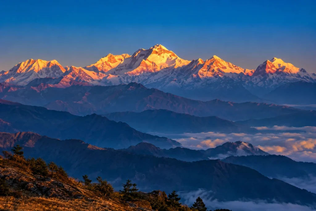
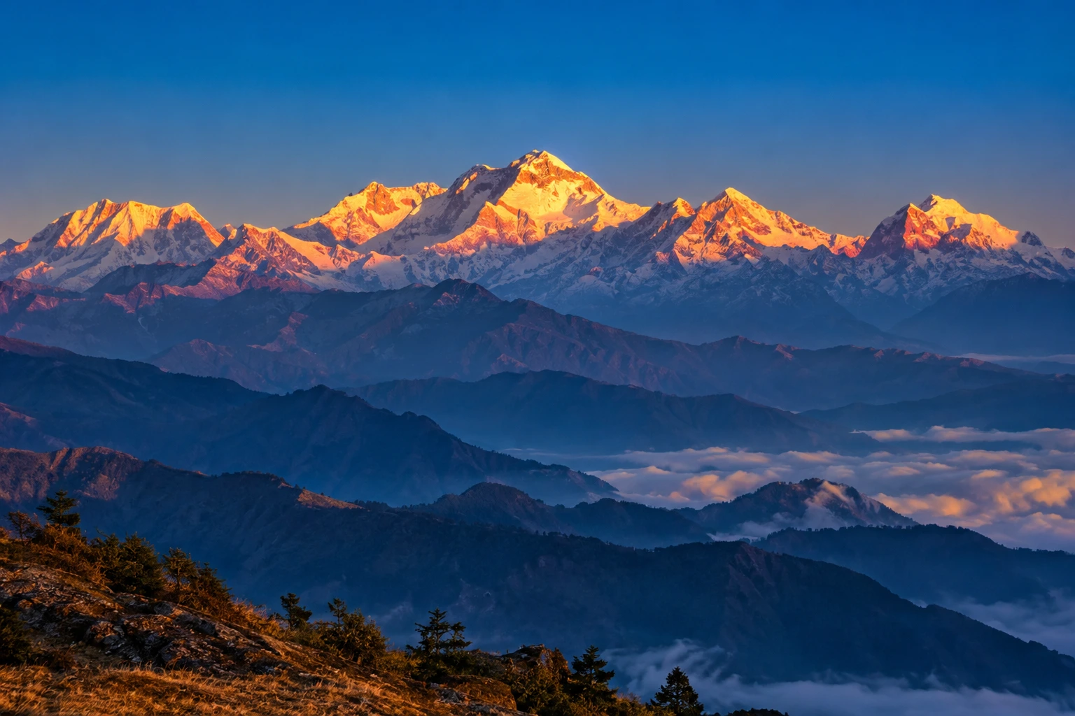
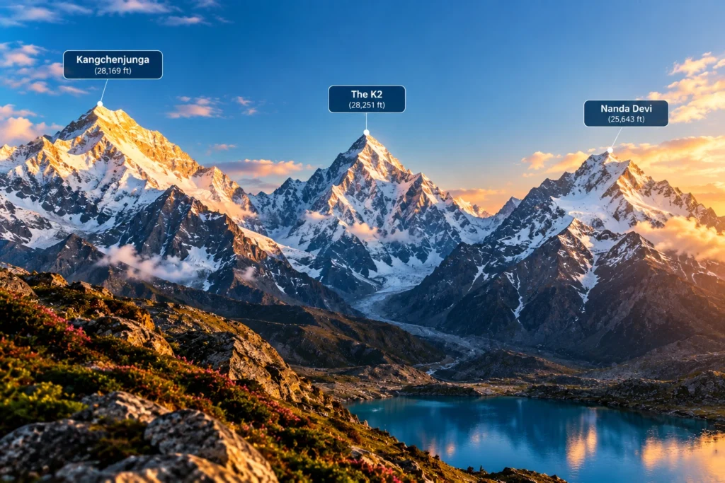
Standing at 8,586 metres (28,169 feet), Kangchenjunga is the highest mountain in India and the third-highest peak on the planet, after Everest and K2. It rises on the border between the Indian state of Sikkim and eastern Nepal, dominating the skyline for hundreds of kilometres in every direction.

The name translates roughly to “Five Treasures of the Snow,” a reference to its five distinct summits, which in local tradition are said to represent gold, silver, gems, grain, and sacred texts. For the people of Sikkim, the highest mountain in India is not merely a geographical feature but a guardian deity, and this reverence has shaped how it is treated even by outsiders.

That respect became part of mountaineering history in 1955, when the first successful expedition, led by British climbers Joe Brown and George Band, deliberately stopped a few metres short of the true summit. They had promised the Chogyal, Sikkim’s ruler at the time, that the highest point would remain untrodden. Most expeditions since have honoured the same tradition, making Kangchenjunga one of the few major peaks whose actual summit is generally left undisturbed.

The surrounding region is protected by Khangchendzonga National Park, a UNESCO World Heritage Site that shelters snow leopards, red pandas, Himalayan black bears, and an extraordinary range of alpine flora.

The K2 Question

Anyone researching the highest peak in India will eventually run into a complication: K2. At 8,611 metres, K2 is taller than Kangchenjunga and is the second-highest mountain in the world. It sits in the Karakoram range, in territory administered by Pakistan but claimed by India as part of the wider Kashmir dispute.

Because of this, some Indian sources, particularly those aimed at competitive exams, list K2 as the country’s tallest. Others treat Kangchenjunga as the highest undisputed peak, since it lies entirely within territory under Indian administration. Both positions appear in official and academic material, and which one is used generally depends on whether the writer is applying territorial claims or effective control. For practical purposes, most geographers and travel resources treat Kangchenjunga as the highest mountain in India.

Nanda Devi: The Tallest Peak Entirely Within India

At 7,816 metres (25,643 feet), Nanda Devi holds a distinction that Kangchenjunga cannot claim: it lies wholly inside Indian borders, with no shared frontier. That makes it the highest mountain in India located entirely within the country, and the 23rd-highest in the world.

Located in the Chamoli district of Uttarakhand, Nanda Devi sits at the heart of the Garhwal Himalayas and is named after the region’s patron goddess. The peak has two summits, a higher western one and a lower eastern one, and is encircled by a formidable ring of mountains known as the Nanda Devi Sanctuary, a natural amphitheatre that kept the peak unreachable for decades.

The first ascent came in 1936, when Noel Odell and Bill Tilman reached the top. At the time, it was the highest summit any human had successfully climbed, a record that stood until Annapurna was conquered in 1950.

Recognising the fragility of the surrounding ecosystem, the Government of India established the Nanda Devi Biosphere Reserve in 1982, and the Nanda Devi National Park was declared a UNESCO World Heritage Site in 1988. Access to the inner sanctuary remains heavily restricted, which has helped preserve one of the least disturbed high-altitude environments in the Himalayas.

For trekkers who want to see this giant without attempting a technical climb, the trail to Kuari Pass offers some of the finest views available. Our Kuari Pass Trek package follows the historic Curzon Trail, with Nanda Devi visible across much of the route.

Kamet: The Third-Highest

Completing the trio is Kamet, at 7,756 metres (25,446 feet), which ranks third among India’s tallest mountains and 29th in the world. Like Nanda Devi, it stands in the Chamoli district of Uttarakhand, close to the Tibetan plateau and forming part of the Zanskar range.

Kamet is more remote and less photographed than its neighbours, partly because its position behind surrounding ridges keeps it hidden from most common viewpoints. It was first climbed in 1931 by a British expedition that included Frank Smythe and Eric Shipton, and at that point it was the highest peak ever summited, a title it held briefly before Nanda Devi took it five years later.

The mountain is surrounded by several major glaciers and sits near the Mana Pass, one of the highest motorable passes in the world, which adds to the sense of isolation that defines the area.

The Highest Mountain in India and Its Closest Rivals

3 peaks
RankPeakHeightLocationWorld Rank
1Kangchenjunga8,586 mSikkim (India–Nepal border)3rd
2Nanda Devi7,816 mChamoli, Uttarakhand23rd
3Kamet7,756 mChamoli, Uttarakhand29th

Why These Mountains Matter

Beyond record books, the highest mountain in India and its neighbouring giants shape daily life across the north. The glaciers feeding off them supply the Ganges, the Alaknanda, and countless smaller rivers that sustain agriculture across the plains. They influence monsoon patterns, act as a natural barrier along sensitive borders, and support biodiversity found almost nowhere else.

They also carry deep cultural weight. Nanda Devi is worshipped as a goddess across Uttarakhand, honoured every twelve years in the Nanda Devi Raj Jat Yatra, one of the longest pilgrimages in the Himalayas. Kangchenjunga occupies a similar place in Sikkimese belief. In both cases, the mountains are treated less as objects to be conquered and more as presences to be respected.

For travellers who want to experience this landscape without technical mountaineering, plenty of accessible options exist. Our guide to the 10 Best Treks in India covers routes that bring you within sight of these giants at a far gentler difficulty level.

For official tourism information and travel guidance across these regions, you can refer to Incredible India, the Government of India’s official tourism portal.

Frequently Asked Question’s

  1. Which is the highest mountain in India?

    Kangchenjunga, at 8,586 metres, is generally regarded as India’s highest peak. It lies on the border between Sikkim and Nepal and is the third-highest mountain in the world.

  2. Is K2 or Kangchenjunga the highest peak in India?

    K2 is taller at 8,611 metres, but it sits in Pakistan-administered territory that India claims. Kangchenjunga is therefore usually treated as India’s highest undisputed peak, though some Indian sources list K2 instead.

  3. Which is the highest mountain entirely within India?

    Nanda Devi, at 7,816 metres in Uttarakhand, is the tallest peak located completely inside Indian territory.

  4. Which mountain ranks third in India?

    Kamet, at 7,756 metres, ranks third. It is located in the Chamoli district of Uttarakhand near the Tibetan plateau.

  5. Can these mountains be climbed?

    All three have been summited, but each requires serious technical mountaineering experience and official permits. Access to the Nanda Devi sanctuary in particular is tightly restricted for conservation reasons.

Nag Tibba: The Weekend Trek That Doesn’t Feel Like a Compromise

NAG TIBBA

For anyone stuck choosing between a proper Himalayan trek and the limits of a two-day weekend, Nag Tibba solves that problem better than almost any other route in Uttarakhand. It’s close enough to Dehradun and Mussoorie to fit into a short trip, yet it delivers views and terrain that don’t feel scaled down at all.

What Is the Nag Tibba Range?

The Nag Tibba range is part of the Garhwal Himalayas, sitting close to Mussoorie, and it’s one of the most accessible high-altitude trekking zones near Dehradun. The name translates roughly to “Serpent’s Peak,” tied to local legend and the Nag Tibba Temple that sits near the summit, dedicated to the serpent god worshipped by villages across this belt of the Garhwal hills.

Nag Tibba Height

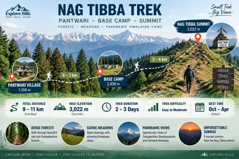
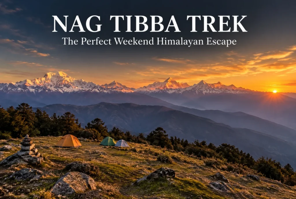
The summit reaches an elevation of approximately 3,022 meters (around 9,915 feet), making it one of the more approachable high-altitude points in the region without requiring the extended acclimatization schedule that higher treks demand. That height still delivers a genuine alpine payoff—panoramic views of Bandarpoonch, Swargarohini, Nanda Devi, Gangotri, and Jaonli line up across the horizon from the top.

Nag Tibba Route

Nag Tibba Trek Distance

The Nag Tibba trek distance covers roughly 15-16 km round trip from Pantwari village, typically completed over a 2-day weekend itinerary, which is exactly what makes this trek so popular among trekkers with limited time off. The initial climb from Pantwari to the campsite covers most of the elevation gain, while the final summit push on day two is a shorter, steeper stretch completed before sunrise for the best views.

Trek SegmentApproximate DistanceTerrain
Pantwari to Base Camp6-7 kmForest trail, moderate incline
Base Camp to Summit3-4 kmSteep final stretch, best done pre-dawn
Return (Summit to Pantwari)6-7 kmDescent, same route

Nag Tibba Weather

Nag Tibba weather shifts noticeably across the year, and choosing the right season changes the entire character of the trek.

SeasonApproximate TemperatureConditions
March–June10°C to 22°C (daytime)Mild, clear skies, rhododendron blooms
July–SeptemberCooler, heavy rainfallSlippery trails, generally avoided
October–November5°C to 18°C (daytime)Crisp air, excellent visibility
December–FebruarySub-zero at summitSnow-covered, popular winter trek

Winter (December to February) transforms this into a proper snow trek, drawing a different crowd than the greener summer months, while October and November tend to offer the clearest long-distance mountain views of the year.

The Trail Experience

Starting from the peaceful village of Pantwari, the trail passes through dense oak and rhododendron forest, open meadows, and well-established campsites before reaching the summit. Along the way, trekkers get the chance to visit the historic Nag Tibba Temple, and the summit itself offers unforgettable sunset and sunrise views along with clear stargazing conditions once night falls, thanks to minimal light pollution in this stretch of the Garhwal valleys.

Nag Tibba Trek Package: What’s Usually Included

A typical Nag Tibba trek package bundles transport from Dehradun or Mussoorie, camping equipment, meals, and a guide for the full 2-day itinerary, which removes most of the planning friction for first-time trekkers. Since this trek is often chosen specifically for its short duration, most packages are built around a Saturday-Sunday format that fits neatly around a regular work week.

How to Reach the Trailhead

By Air

The nearest airport is Jolly Grant Airport in Dehradun, roughly 65 km from Pantwari village.

By Train

Dehradun Railway Station is the nearest major railhead, well-connected to Pantwari by road via Mussoorie.

By Road

Pantwari is accessible by road from Mussoorie, roughly 45-50 km away, with local taxis and shared transport available for reaching the trailhead directly.

Extending the Trip

Since this route is often chosen as a shorter alternative to longer Himalayan treks, many trekkers pair it with a visit to nearby Mussoorie for a combined weekend trip. Explore Hills’ Mussoorie-Rishikesh-Haridwar Trip works well for travelers wanting to combine sightseeing with the trek itself. For those looking for a longer high-altitude route in the same broader region, Explore Hills’ Kedarkantha Trek offers a similar accessible-but-rewarding winter trekking experience.

For official weather forecasts and travel advisories for the Dehradun and Mussoorie region, you can refer to the India Meteorological Department, the Government of India’s official weather agency.

What to Pack

  • Sturdy trekking shoes with solid grip for forest and rocky stretches
  • Layered clothing, since temperatures drop sharply after sunset
  • A headlamp for the pre-dawn summit push
  • Rain protection outside the winter and summer windows
  • Basic first-aid essentials and personal medication
  • A warm sleeping bag if camping overnight at the base camp

Conclusion

Nag Tibba proves that a short trek doesn’t have to mean a lesser one. Between the manageable distance, genuine alpine views, and a range of seasonal experiences from spring rhododendrons to winter snow, it’s easy to see why this remains one of the most recommended weekend treks near Mussoorie and Dehradun.

Frequently Asked Questions

What is the Nag Tibba trek distance?

The round trip covers roughly 15-16 km from Pantwari village, typically completed over a 2-day weekend itinerary.

What is the Nag Tibba height at the summit?

The summit reaches approximately 3,022 meters, or around 9,915 feet above sea level.

What is Nag Tibba weather like in winter?

Winter (December to February) brings sub-zero temperatures at the summit and consistent snowfall, making it a popular winter trek option.

What does the Nag Tibba range offer besides the main summit?

The range includes dense oak and rhododendron forest, open meadows, and the historic Nag Tibba Temple along the trail.

What is usually included in a Nag Tibba trek package?

Most packages include transport from Dehradun or Mussoorie, camping gear, meals, and a guide for the full 2-day trip.

Is the Nag Tibba trek suitable for beginners?

Yes, it’s considered one of the more beginner-friendly high-altitude treks near Dehradun, given its manageable distance and moderate terrain.

Auli: India’s Premier Snow Destination in the Garhwal Himalayas

Auli Uttarakhand

Auli, Uttarakhand, has quietly become one of India’s most sought-after winter destinations, drawing travelers who’d rather see snow-capped Himalayan slopes up close than settle for a distant photograph from the valley below. This guide covers everything worth knowing before planning a trip here — location, weather, the ropeway, and the best season to visit.

Where Is Auli Located?

Where is Auli located is one of the most common questions from first-time visitors, and the answer is straightforward: Auli sits in the Chamoli district of Uttarakhand, roughly 16 km from Joshimath, at an elevation of about 2,800 to 3,050 meters in the Garhwal Himalayas. Its position along the slopes facing the Nanda Devi range is exactly what gives it those sweeping panoramic views that have made it so popular.

What Makes Auli a Hill Station Worth Visiting?

As a hill station, Auli stands apart from most of Uttarakhand’s other popular destinations because of its ski slopes and open meadows that transform completely between seasons. In winter, the entire landscape turns into a snow-covered bowl framed by peaks like Nanda Devi, Mana Parbat, and Kamet. In the warmer months, the same slopes turn green, making it a genuinely different destination depending on when you visit.

Auli Uttarakhand: A Brief Background

Auli Uttarakhand wasn’t always a tourist hotspot — it began as a training ground for the Indo-Tibetan Border Police before developing into a commercial ski destination in the following decades. That history is part of why the slopes here are considered some of the best-maintained in the country for winter sports, alongside the more recent tourism infrastructure that’s grown around it.

Auli Temperature and Auli Weather

Auli temperature varies significantly across the year, and understanding this shift matters a lot when planning a trip.

SeasonApproximate TemperatureConditions
December–February-5°C to 10°CHeavy snowfall, peak ski season
March–June5°C to 20°CMilder, green slopes, clear views
July–September10°C to 18°CMonsoon rain, generally avoided
October–November0°C to 15°CCool, clear skies, early snow possible

Auli weather during winter (December to February) brings the heaviest snowfall, making it the peak season for skiing, while the shoulder months of March, April, October, and November offer a milder climate with clearer mountain visibility, better suited for travelers who’d rather skip the extreme cold.

Best Time to Visit Auli

The best time to visit Auli genuinely depends on what you’re after. For skiing and a full snow experience, December through February is the clear choice, with January typically bringing the heaviest snow cover. For those who prefer milder weather with equally impressive mountain views without the cold, April to June is a strong alternative, while September to November offers crisp air and clear skies as the monsoon clears out.

Auli Ropeway

Auli in December: What to Expect

Auli in December is when the destination really lives up to its reputation. Snowfall typically becomes consistent by mid-to-late December, temperatures drop well below freezing at night, and the ski slopes open in full force. It’s also one of the busiest months for tourism, so advance booking for stays and ropeway tickets is generally recommended during this period.

Auli Ropeway: The Gondola Experience

The Auli ropeway is one of the longest and highest cable car rides in Asia, connecting Joshimath to Auli and covering a stretch of roughly 4 km. Beyond just transport, the ropeway ride itself has become a major attraction, offering sweeping views of the valley and surrounding peaks during the ascent, making it worth doing even for visitors not planning to ski.

Auli Tourism: Top Things to Do

Auli tourism extends well beyond skiing. Key activities include:

  • Skiing and snowboarding on maintained slopes during winter
  • Riding the Auli ropeway for panoramic valley views
  • Visiting the Gorson Bugyal meadow, a short trek from the main town
  • Chenab Lake (Auli Lake), an artificial lake used for snowmaking that’s also a scenic photo spot
  • Trekking to nearby viewpoints for unobstructed views of Nanda Devi

How to Reach Auli

By Air

The nearest airport is Jolly Grant Airport in Dehradun, roughly 280 km away, connected to Auli by road via Rishikesh and Joshimath.

By Train

Rishikesh serves as the nearest major railhead, from where it’s a long but scenic drive through the Garhwal hills to reach Joshimath and then Auli.

By Road

Auli is well-connected by road from Joshimath, roughly 16 km away, with local taxis available for the final stretch, or visitors can take the ropeway directly from Joshimath.

Planning an Auli Tour Package

For travelers who’d rather not coordinate transport, accommodation, and ropeway bookings separately, an Auli tour package typically bundles these elements together, along with guided visits to nearby viewpoints and meadows. Since Auli often gets paired with other regional destinations, Explore Hills’ Kuari Pass Trek is a popular add-on for travelers wanting a trekking component alongside their Auli visit, since the descent route often passes near Auli’s meadows. For a broader regional trip, Explore Hills’ Uttarakhand Tour Package can help combine Auli with other Garhwal Himalaya highlights.

For official tourism information, current ropeway timings, and travel advisories for the region, you can refer to the Uttarakhand Tourism Development Board, the state government body overseeing this destination.

What to Pack

  • Heavy woollens and thermal layers for winter visits
  • Waterproof and windproof outer jacket
  • Sturdy, insulated snow boots
  • Gloves, a warm cap, and sunglasses for snow glare
  • Basic first-aid essentials and any personal medication

Conclusion

Auli manages to deliver a genuinely different experience depending on the season, which is part of why it keeps drawing repeat visitors rather than just first-timers. Whether it’s the ropeway ride, the ski slopes in peak winter, or the quieter green meadows outside the snow season, it remains one of the most versatile hill stations in the Garhwal Himalayas.

Frequently Asked Questions

Where is Auli located?

Auli is located in the Chamoli district of Uttarakhand, roughly 16 km from Joshimath, at an elevation of 2,800 to 3,050 meters.

What is the best time to visit Auli?

December to February is ideal for snow and skiing, while April to June and September to November offer milder weather with clear mountain views.

What is the Auli temperature like in winter?

Winter temperatures typically range from -5°C to 10°C, with heavy snowfall making December through February the peak ski season.

What is Auli weather like during Auli in December?

December brings consistent snowfall by mid-to-late month, sub-zero night temperatures, and the busiest tourist season of the year.

How long is the Auli ropeway?

The Auli ropeway stretches roughly 4 km between Joshimath and Auli and is considered one of the longest and highest cable car rides in Asia.

What does an Auli tour package usually include?

Most packages bundle transport, accommodation, and ropeway tickets, often alongside guided visits to nearby meadows and viewpoints.

What can I do for Auli tourism besides skiing?

Beyond skiing, visitors can ride the ropeway, visit Gorson Bugyal meadow, see the artificial Chenab Lake, and trek to nearby viewpoints for Nanda Devi views.

Char Dham Yatra: The Ultimate Guide to Uttarakhand’s Sacred Pilgrimage

Char Dham Yatra

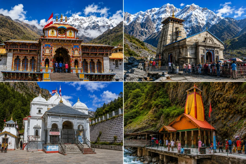
Tucked into the folds of the Garhwal Himalayas, the Char Dham Yatra is one of Hinduism’s most revered pilgrimage circuits, drawing lakhs of devotees to four sacred shrines every year. The journey takes pilgrims through Yamunotri, Gangotri, Kedarnath, and Badrinath — each set against a backdrop of snow-capped peaks, glacial rivers, and centuries of devotion. For many, completing this circuit isn’t just a trip; it’s a spiritual milestone.

If you’re planning your own Char Dham Yatra, our Char Dham Yatra package covers the complete route, but before you set out, here’s a detailed guide to help you understand the significance, route, and everything else you’ll need to know.

What Is Char Dham Yatra?

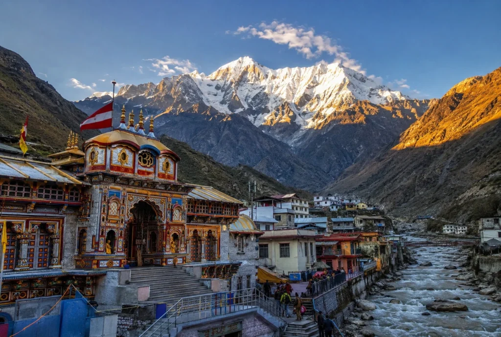
The term “Char Dham” translates to “four abodes,” referring to four sacred sites in Uttarakhand: Yamunotri, Gangotri, Kedarnath, and Badrinath. The Char Dham Yatra is often called the “Chota Char Dham” to distinguish it from the original, pan-India Char Dham established by the philosopher-saint Adi Shankaracharya, which includes Badrinath in the north, Dwarka in the west, Puri in the east, and Rameswaram in the south. While the two circuits share the name and the site of Badrinath, most people today, when referring to this journey, mean the Uttarakhand version.

Each of the four shrines holds distinct religious significance. Yamunotri is dedicated to the goddess Yamuna and marks the source of the Yamuna River. Gangotri honours the goddess Ganga at the origin point of the sacred Ganges. Kedarnath is one of the twelve Jyotirlingas of Lord Shiva, and Badrinath, the final stop, is dedicated to Lord Vishnu. Together, these four shrines form a journey that touches on multiple strands of Hindu devotion within a single circuit.

The Traditional Route and Order

The Char Dham Yatra follows a fixed, traditional sequence. Pilgrims begin at Yamunotri, move on to Gangotri, then Kedarnath, and finally conclude at Badrinath — a west-to-east, roughly clockwise route through the Garhwal Himalayas. This order isn’t arbitrary; it also helps the body acclimatise gradually as pilgrims move toward the higher-altitude shrines of Kedarnath and Badrinath later in the journey.

Most pilgrims begin and end their trip from Haridwar, Rishikesh, or Dehradun, which serve as the main gateway cities. From there, the route typically flows through Barkot (base for Yamunotri), Uttarkashi (base for Gangotri), Guptkashi (base for Kedarnath), and Joshimath (en route to Badrinath), before looping back toward Haridwar via Rudraprayag and Devprayag.

The Four Shrines in Detail

Yamunotri requires a final stretch of trekking, typically 5 to 6 km from Janki Chatti, with ponies and palanquins available for those who prefer not to walk the full distance.

Gangotri is comparatively easier to reach, being directly connected by road via Uttarkashi, making it one of the more accessible stops on the route.

Kedarnath is widely regarded as the most physically demanding leg. Pilgrims travel by road up to Gaurikund and then undertake a steep 16 to 18 km trek to reach the temple. A helicopter service is also available, though bookings must go through IRCTC’s official portal.

Badrinath, the final destination, is the easiest of the four to access, since the road leads directly to the temple. This makes it especially suitable for elderly pilgrims or those with limited mobility.

For travellers who’d like a shorter, more focused pilgrimage instead of the full Char Dham Yatra circuit, our Kedarnath Yatra package is a great alternative that covers one of the most significant shrines in the journey.

Best Time for the Pilgrimage

The most favourable window for the Char Dham Yatra falls between May and June, offering clear skies and comfortable temperatures. A second good window opens from September to October, after the monsoon clears. The monsoon months are best avoided, as landslides and road blockages are common in the hill sections during this period.

The four shrines only remain open for a limited season each year, typically opening between April and May and closing around October or November as winter sets in. For 2026, Yamunotri and Gangotri opened on April 19, Kedarnath on April 22, and Badrinath on April 23, with all four shrines expected to close by mid-November ahead of the winter snowfall.

Registration and Permits

Registration is mandatory for all pilgrims undertaking the Char Dham Yatra, regardless of whether you’re travelling by road or helicopter. The registration process is free but compulsory, and typically opens in early March through the official Uttarakhand government portal. Pilgrims are advised to carry a printed yatra pass along with a valid government-issued photo ID, such as an Aadhaar card or passport.

In recent years, several additional rules have also come into effect, including mandatory medical check-ups for pilgrims above 55 years of age or with pre-existing health conditions, along with real-time tracking systems and expanded medical support across the route. It’s worth checking the latest guidelines closer to your travel dates, since rules and requirements can be updated from year to year.

Duration and Budget

A full Char Dham Yatra by road typically takes 10 to 12 days, while helicopter packages can shorten the journey to around 5 to 6 days, making them a popular option for pilgrims short on time or looking to avoid the physically demanding treks. Budgets can vary widely depending on the mode of travel and comfort level chosen, ranging from more modest road-trip packages to significantly higher-cost helicopter itineraries covering all four shrines.

If you’d prefer to explore a smaller, equally meaningful circuit before attempting the full Char Dham Yatra, our Do Dham Yatra package is worth considering as a shorter introduction to Uttarakhand’s sacred geography.

Tips for a Smooth Char Dham Yatra

  • Book accommodation early: Guesthouses in Barkot, Uttarkashi, Guptkashi, and Joshimath fill up weeks in advance during peak season
  • Pack for variable weather: Even in summer, temperatures near the shrines can drop sharply, especially early morning and evening
  • Carry essential documents: Yatra pass, photo ID, and medical certificates if applicable
  • Stay physically prepared: The Kedarnath trek in particular requires reasonable fitness
  • Respect entry guidelines: Certain temples have specific rules around entry and photography, so it helps to check current guidelines beforehand

For the latest registration details and official updates, you can visit the Uttarakhand government’s official registration portal, the authorised source for Char Dham Yatra registration.

Frequently Asked Question’s

  1. What is the correct order to complete the Char Dham Yatra?

    The traditional order is Yamunotri, followed by Gangotri, Kedarnath, and finally Badrinath.

  2. Is registration compulsory for the Char Dham Yatra?

    Yes, registration is mandatory for all pilgrims and is free to complete through the official Uttarakhand government portal.

  3. What is the best time of year for the Char Dham Yatra?

    May to June and September to October are considered the most favourable months, offering clearer weather and safer road conditions.

  4. How long does the full circuit take?

    By road, the journey typically takes 10 to 12 days, while helicopter packages can shorten it to around 5 to 6 days.

  5. Which shrine is the most physically demanding to reach?

    Kedarnath is generally considered the toughest, requiring a 16 to 18 km trek from Gaurikund, though helicopter services are available as an alternative.