
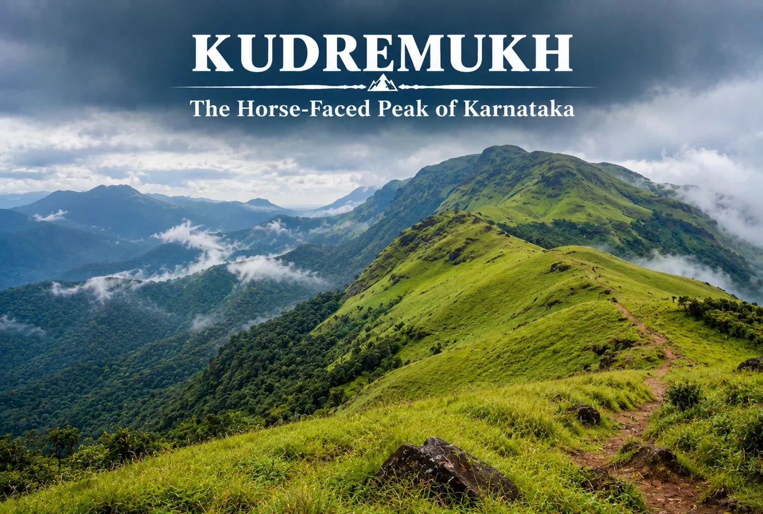
Not every great Indian trek is in the Himalayas. Tucked into the lush, monsoon-fed hills of coastal Karnataka, Kudremukh offers a completely different kind of trekking experience — rolling grasslands, dense rainforest, and a peak shaped like a horse’s face that gives the region its name.
Table of Contents
What Is Kudremukh Karnataka?
Kudremukh Karnataka refers to both the mountain range and the surrounding region in the Chikmagalur district, part of the Western Ghats, one of the world’s eight “hottest hotspots” for biodiversity. The name “Kudremukh” translates to “horse face,” a reference to the distinctive shape one particular peak takes when viewed from certain angles, especially from the nearby town of Kalasa.
Kudremukh National Park
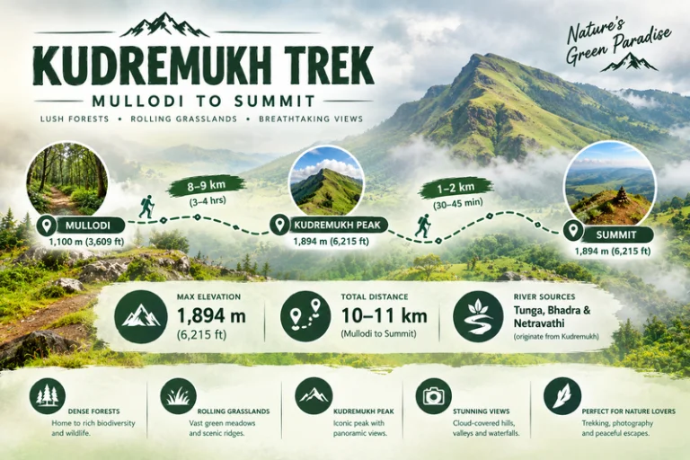
Kudremukh National Park spans a significant stretch of the Western Ghats and is known for its dense evergreen forests, rolling grassy hills, and rich biodiversity, including species like the Malabar giant squirrel, tigers, and a wide variety of endemic bird life. The park also forms a crucial watershed, with three major rivers — the Tunga, Bhadra, and Netravathi — originating within or near its boundaries.
Kudremukh Peak: Height and Views
Kudremukh Peak stands at approximately 1,894 meters (around 6,214 feet), making it the third-highest peak in Karnataka. The summit rewards trekkers with sweeping views across the Western Ghats, with rolling grassland hills stretching in every direction, dramatically different from the rocky, snow-capped summits typically associated with Himalayan trekking.
Kudremukh Trek: What to Expect
The Kudremukh trek is known for its distinctive terrain — open, rolling grasslands that give way to pockets of dense shola forest in the valleys, a landscape quite unlike most other treks in South India. The trail passes through grassy ridgelines offering continuous views, with the forest sections providing shade and a chance to spot wildlife along the way.
Kudremukh Trek Distance
The Kudremukh trek distance covers roughly 18-20 km round trip from the base village of Mullodi, typically completed as a single-day trek by fit trekkers, though some choose to break it into a two-day trip with a night camp. The trail gains elevation gradually through grassland stretches, making the overall climb manageable despite the distance.
| Trek Segment | Approximate Distance | Terrain |
|---|---|---|
| Mullodi to Mid-point | 8-9 km | Grassland and forest mix |
| Mid-point to Summit | 1-2 km | Steeper final grassy climb |
| Return (Summit to Mullodi) | 9-10 km | Descent, same route |
Kudremukh Mines: A Complicated History
The Kudremukh mines operated as one of India’s major iron ore mining projects from the 1970s until operations were largely wound down in the early 2000s due to environmental concerns tied to the region’s status as a protected national park. The mining history here is part of what makes the area’s ecological recovery notable — large stretches that once supported industrial activity have since returned to protected forest and grassland, with the park’s conservation status now taking precedence over further extraction.
Best Time to Visit
October to March offers the most comfortable trekking conditions, with clear skies and manageable temperatures. Monsoon season (June to September) transforms this region dramatically — the Western Ghats receive heavy rainfall during this period, and while the landscape turns a vivid green, trekking becomes significantly more difficult and is often restricted due to leeches, slippery trails, and safety concerns.
How to Reach
By Air
The nearest airport is Mangalore International Airport, roughly 95 km from the base village.
By Train
Kadur Railway Station, connected to major Karnataka cities, serves as a reasonable railhead, though road travel from Chikmagalur or Mangalore is generally more practical.
By Road
Mullodi village, the main trek base, is accessible by road from Chikmagalur (roughly 95 km) and Mangalore, with local transport or private vehicles needed for the final stretch.
Extending Your Trip
For trekkers who enjoy this kind of grassland-and-forest terrain, Explore Hills’ Triund Trek offers a similarly accessible meadow trekking experience, though in the very different setting of the Himachal Himalayas. For those planning a broader South India itinerary, Explore Hills’ Tirthan Valley Trek is worth considering as another forest-and-river trekking destination to compare against Kudremukh’s Western Ghats landscape.
What to Pack
- Sturdy trekking shoes with good grip for grassy, sometimes slippery slopes
- Leech socks or protection, particularly important outside the dry winter months
- Rain protection, since weather can shift quickly even outside monsoon
- Sunscreen and a hat for exposed grassland stretches
- A basic first-aid kit and sufficient water
Conclusion
Karnataka proves that India’s best trekking isn’t confined to the Himalayas. Between its horse-shaped peak, its rolling grasslands, its complicated mining history, and its role as a watershed for three major rivers, it remains one of South India’s most distinctive and rewarding treks for anyone willing to look beyond the mountains up north.
Frequently Asked Questions
What is the Kudremukh trek distance?
The round trip covers roughly 18-20 km from Mullodi village, typically completed as a single-day trek by fit hikers.
What happened to the Kudremukh mines?
The iron ore mining operation largely ceased in the early 2000s due to environmental concerns related to the area’s national park status.
Is Karnataka’s trek suitable for beginners?
It’s considered a moderate trek, manageable for reasonably fit beginners, though the grassland terrain and distance require decent stamina.
What is the best time to visit Karnataka?
October to March offers the clearest skies and most manageable trekking conditions, while monsoon months bring heavy rain and restricted access.